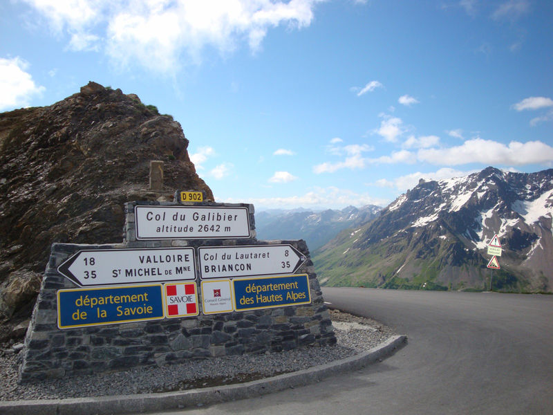
The Col du Galibier

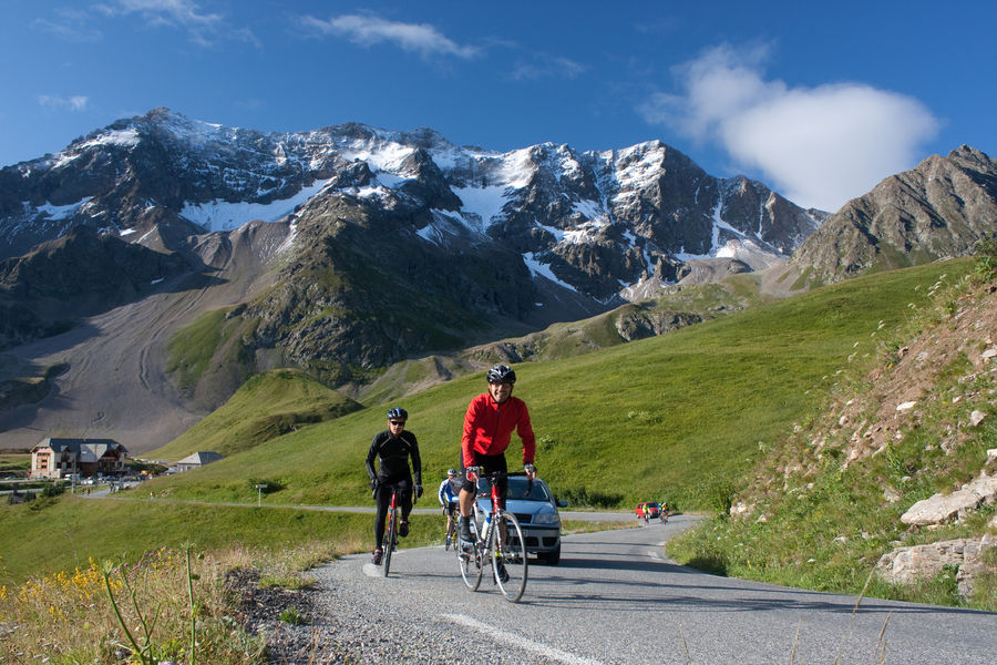
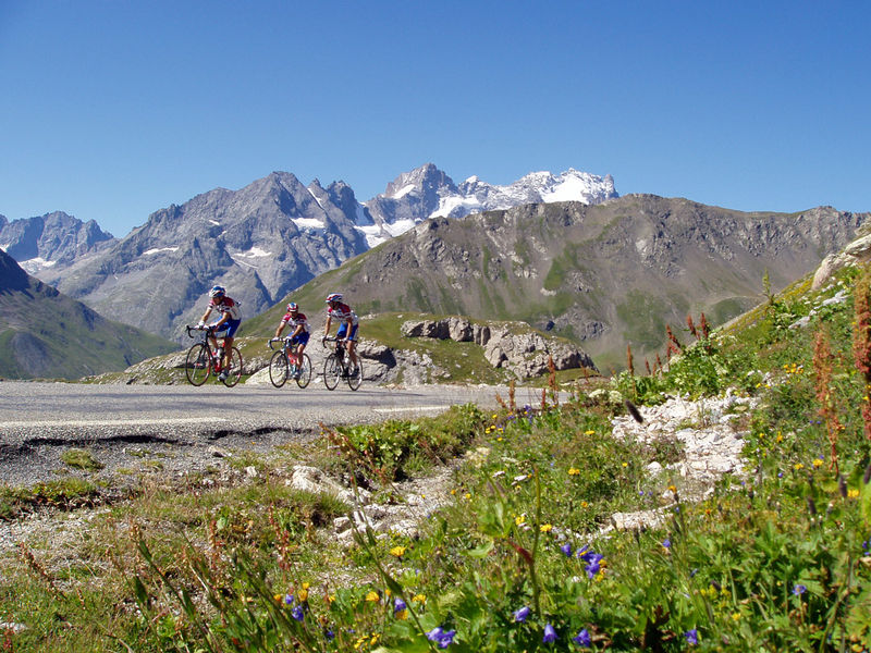
The flat terrain of Le Bourg-d'Oisans provides a welcome warm-up before the fearsome ascent of this 2646 m giant of the Alps. And don't forget that you'll have to cross the Col du Lautaret before reaching the Galibier. High mountain atmosphere guaranteed!
This route is available on the “Vélo en Oisans” map (Oisans Tourisme)
Start / Finish : Bourg-d'Oisans 720 m
Duration : 6 h
Distance (return) : 96 km
Maximum altitude: 2646 m
Minimum altitude: 720 m
Ascent: 1900 m
Maximum gradient: 14
Cartography: Michelin Carte Département Isère, Savoie n° 333
ITINERARY
From Bourg-d'Oisans, head for "Briançon / Les 2 Alpes" on the D1091 as far as the Chambon dam. You'll pass through 4 lighted tunnels on this stretch, so for your own safety, make sure you're visible.
Once at the dam, continue towards "Briançon / La Grave" as far as the Col du Lautaret (2058 m).
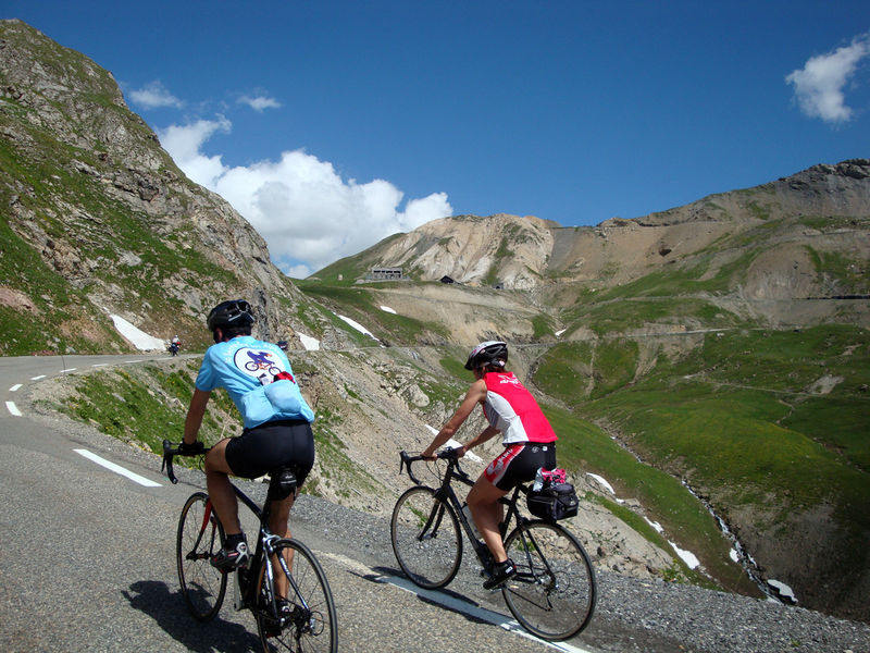
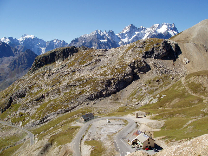
From Le Lautaret, turn left towards the Col du Galibier. There's still 8 km of sustained ascent to the summit.
Beware of the effects of altitude, which can be felt from 2000 m upwards.
Route details
Opening
From 01/06 to 31/10 daily.
Depending on snow conditions.
Subject to favorable snow and weather conditions.
Informations to download
Discover more
Information updated on 24/06/2026
by Oisans Tourisme