


The Ecrins national Park

Established in 1973, the Ecrins National Park is one of 10 French National Parks. The heart of the park is accessible only on foot.
There are many trails—many of which take no more than a day to complete—that let you explore mountain villages, alpine pastures, lakes, waterfalls, and many other hidden gems.
For long-distance hikers, try the classic routes of the Grand Tour des Ecrins, such as the Tour du Vieux Chaillol, the GR54 and its variations, or even a section of the Via Alpina. Multi-day hiking trips are possible: mountain huts and lodges along the way will let you spend your nights under cover and in good company. Consider all-inclusive, self-guided, or guided trips!
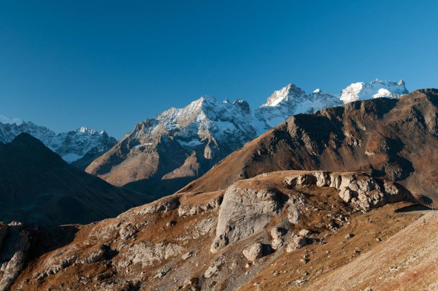
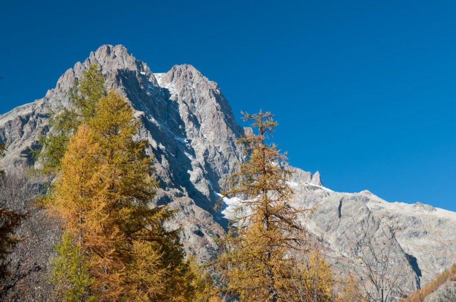
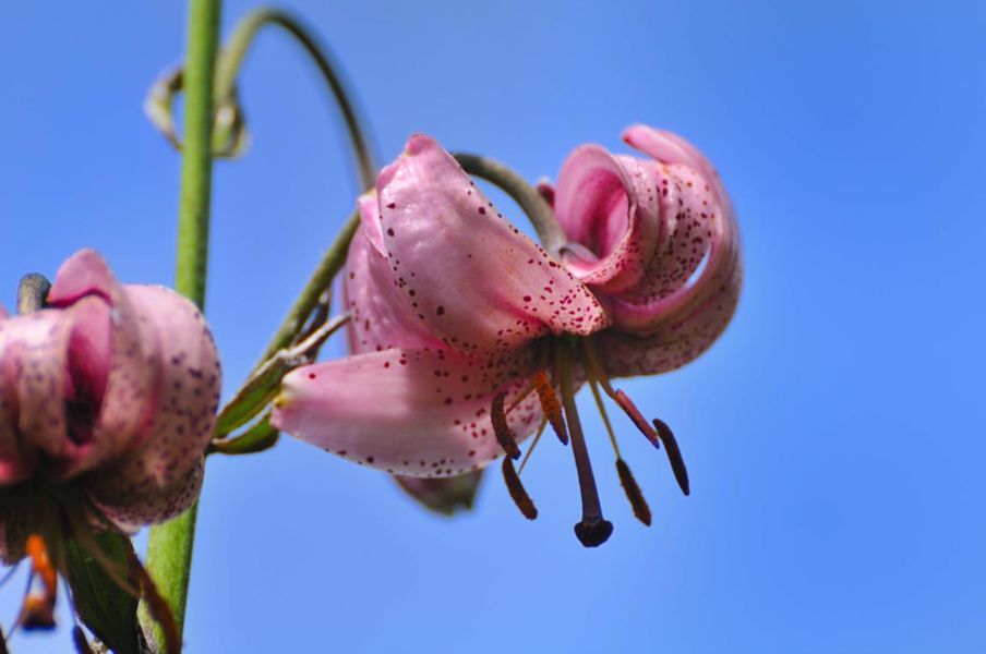
Situated at the junction of the Northern and Southern Alps, the Écrins National Park encompasses one of the largest and highest mountain ranges in the Alps (highest point at 4,102 m, with over 150 peaks between 3,000 and 4,000 m). 11,000 hectares of glaciers have carved out deep valleys radiating out like the spokes of a wheel. Eagles, chamois, ibex, 167 animal species, and 1,800 species of flowers and plants. The park rangers, guides, and tour leaders, as well as the Park Visitor Centers, are here to help you explore this world. In the Écrins National Park, the trail tells the story of this true high-mountain civilization, found in the Oisans and Valbonnais regions of Isère and in the four valleys of the Hautes-Alpes: Champsaur & Valgaudemar, Serre-Ponçon, the Briançonnais, and Vallouise.
Information updated on 24/04/2025
by Agence de Développement Économique et Touristique des Hautes-Alpes