Trail path La Bastille - Mont Rachais

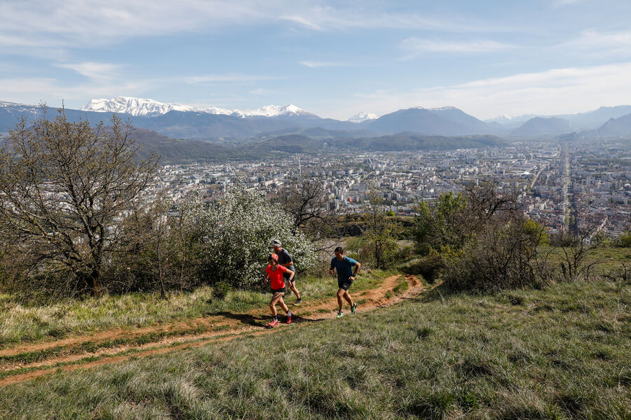
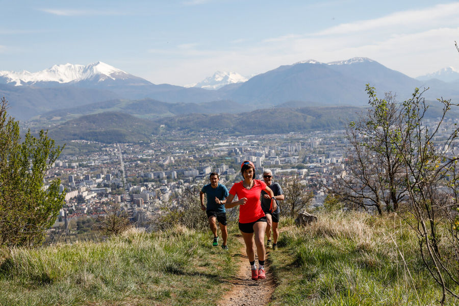
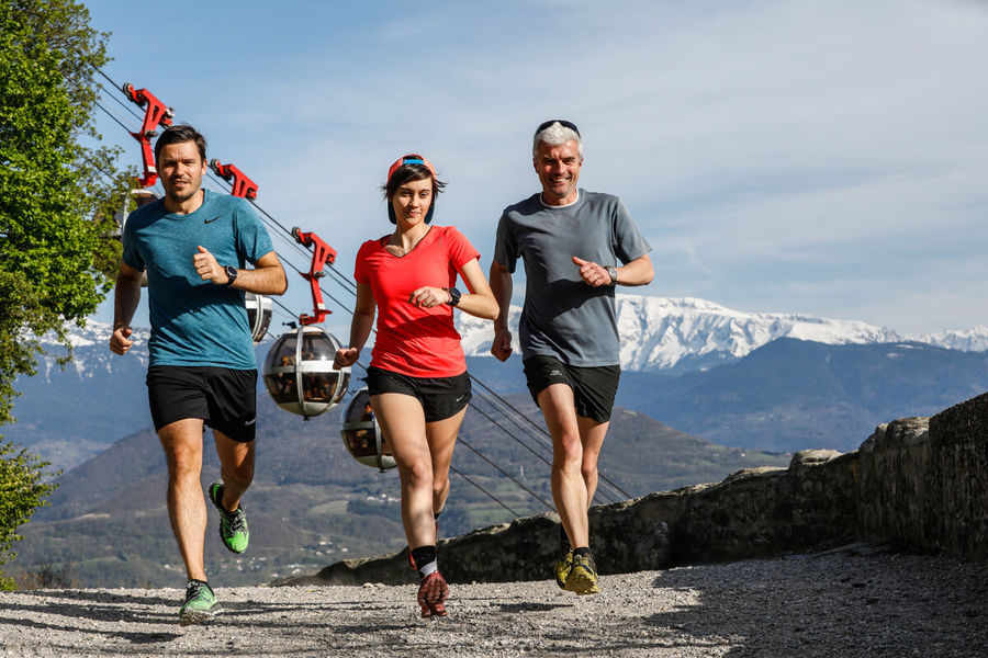
The climb to La Bastille is not to be missed, but neither are the less busy singletrack paths that you'll follow from the top. Over the valley and Belledonne mountains, they offer stunning views stretching all the way to Mont Blanc.
Route details
You arrive at the "relais de Rochebise" hut at the end of the woods. The highest point, "Bec Aigu", is a few dozen metres further on. The descent offers a fine technical session to be approached with vigilance on some slightly steep passages.
Water points: Porte Saint-Laurent, Pied du Glacis, La Tronche Mairie
Pets welcome
Opening
All year round daily.
Discover more


Go there
Latitude : 45.198
Longitude : 5.7317
38000 Grenoble
Go there
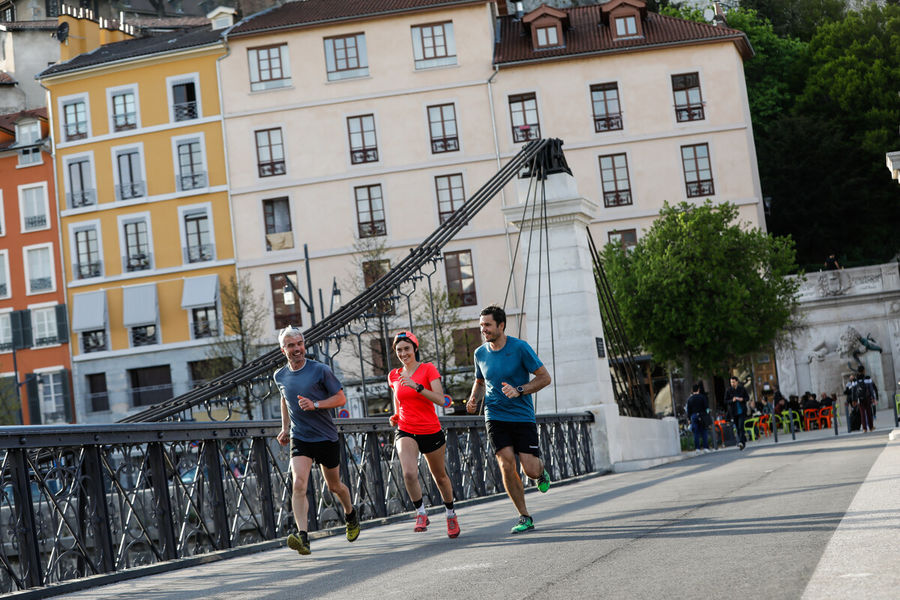
The starting point is: from the Saint-Laurent Gate
Sign at the beginning of the access road to the Saint-Laurent Archaeological Museum
Information updated on 29/01/2026
by Office de Tourisme Grenoble Alpes