Vallon Lake

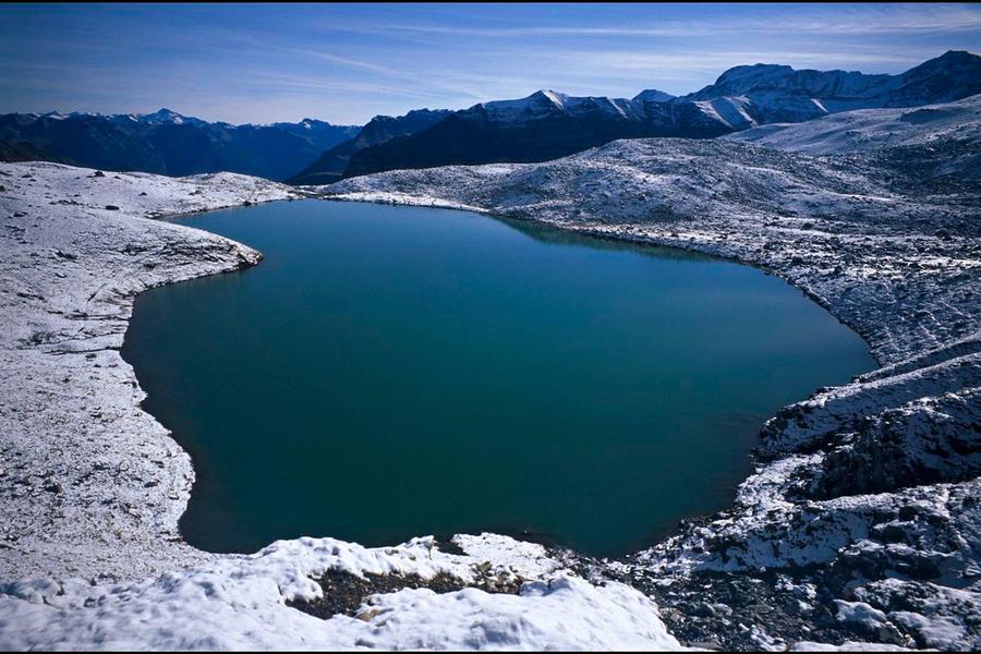
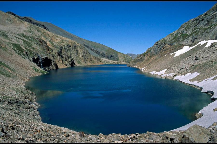
Cut out for experienced walkers, the ascent towards Vallon Lake touches the limit of the heart of the Park. Here, the geological diversity and the view of the massifs give an informative insight in to the formation of the Alps.
This beautiful large scale itinerary leads from the bottom of the valley to the rocky cirque which reaches up to 3000 m. Minerals are omnipresent and the surrounding summits hide our view of the clouds which can arrive from the South: Be careful of the weather, because you can be surprised by storms up there-haut, the descent will be eventful!
Samy Jendoubi, Park ranger at Valbonnais
Route details
It is best to leave your vehicle beside the Chantelouve church in the hamlet of Bosses. Cross the Malsanne on a wooden walkway, then, on a track traced across a vast shale slope, reach the place which is a timber depot... From there, continue on the forest trail, cross the gorge of the Malsanne on Moulin bridge and follow diagonally right on the path going through a little wood coming out into a vast valley scattered with boulders. At the bottom of the valley, going into the heart of the National Park cross follow a passage between, the steep rocky slabs then the track leads to the pastoral cabin (where there is water). The track continues with several bends through alpine lawns at altitude... It follows a wonderful waterfall originating in Vallon lake. The landscape becomes very mineral when you arrive at the first glacial polishes. Return using the same itinerary.
More details
Informations to download
Tips
Is in the midst of the park : The national park is an unrestricted natural area but subjected to regulations which must be known by all visitors.
Herd protection dogs : In mountain pastures, protection dogs are there to protect the herds from predators (wolves, etc.).When I hike I adapt my behavior by going around the herd and pausing for the dog to identify me.Find out more about the actions to adopt with the article "Protection dogs: a context and actions to adopt".Tell us about your meeting by answering this survey.
Go there
Latitude : 44.983922383414
Longitude : 5.9696938701885
38740 Chantelouve
Go there
Departure : Les Bosses.
Road access : D526 Entraigues Col d'Ornon. .
Information updated on 03/09/2026
by Parc national des Écrins