Watercourses of the Gresse Valley

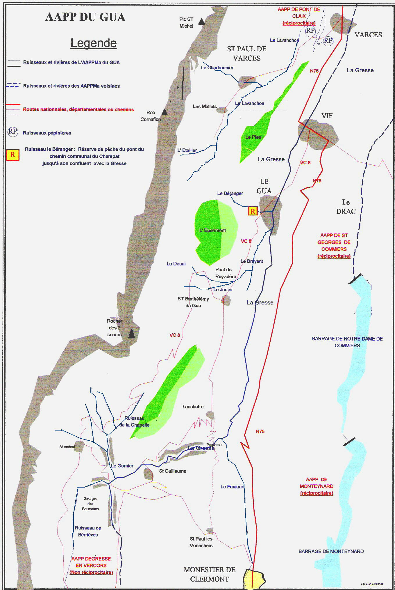
Fishing territory managed by the AAPPMA "La Gaule de la Vallée de La Gresse". 45 km of 1st category streams (majority trout population).
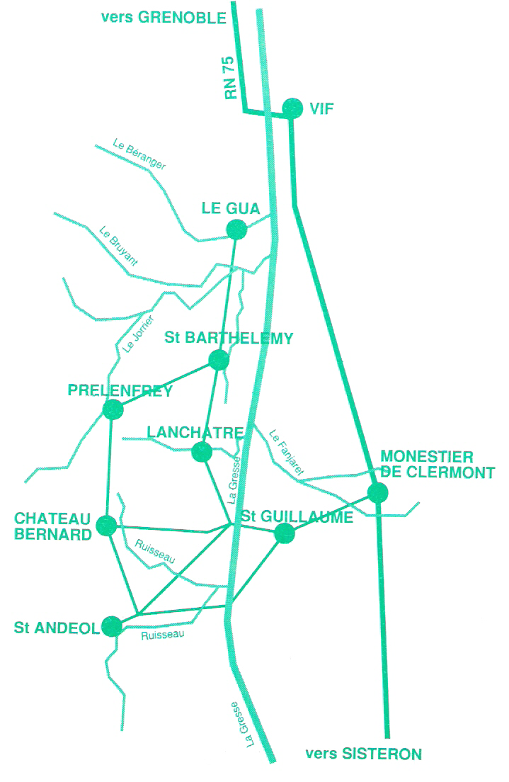
The upstream limit is at the exit of the Beaumettes gorge, on the Gresse en Vercors side. The downstream limit is a few hundred meters after the Vif bridge (RN 75). The territory covers the communes of Le Gua, Vif, Château-Bernard, Saint-Andéol, Saint-Guillaume, Miribel Lanchâtre and Saint-Paul de Varces. The main rivers are : La Gresse, (with Le Béranger, Le Bruyant, Le Gornier, Berrièves, Le Fanjaret on the left bank, and Le Lavachon on the right).
Time schedule
Prices
Fishing cards on sale at the following locations:
- Relais de Touchane in St Guillaume
- Les Saillants du Gua tobacconist's shop
- Vif tobacconists
and on http://www.cartedepeche.fr/
Go there
Latitude : 45.010712
Longitude : 5.647963
Go there
The Gresse river and its tributaries are located in several communes: Château-Bernard, St Andéol, St Guillaume, Miribel Lanchâtre, Le Gua, Vif, Saint Paul de Varces.
Information updated on 16/08/2026
by Office de Tourisme du Trièves