9 - Tour du Signal de l'Homme

Before your visit
This trail passes near alpine pastures at the Col de Cluy starting in June; you may encounter livestock guard dogs. Find out how to interact with them safely by contacting the tourist office or visiting Pasto-kézako.fr. Are you hiking with your dog? Your dog must be kept on a leash at all times during the hike, but should be let off the leash if you encounter a guard dog so that the interaction can occur as naturally as possible. Dogs that are poorly socialized or hunting dogs are strongly discouraged.
The periods when trails are accessible vary from year to year depending on snow cover and weather conditions. In addition, trail conditions can change rapidly after a weather event and are not checked daily. If you encounter a section of the trail that is damaged or dangerous, turn back and report it to the tourist office upon your return.
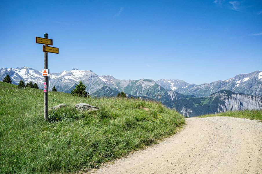
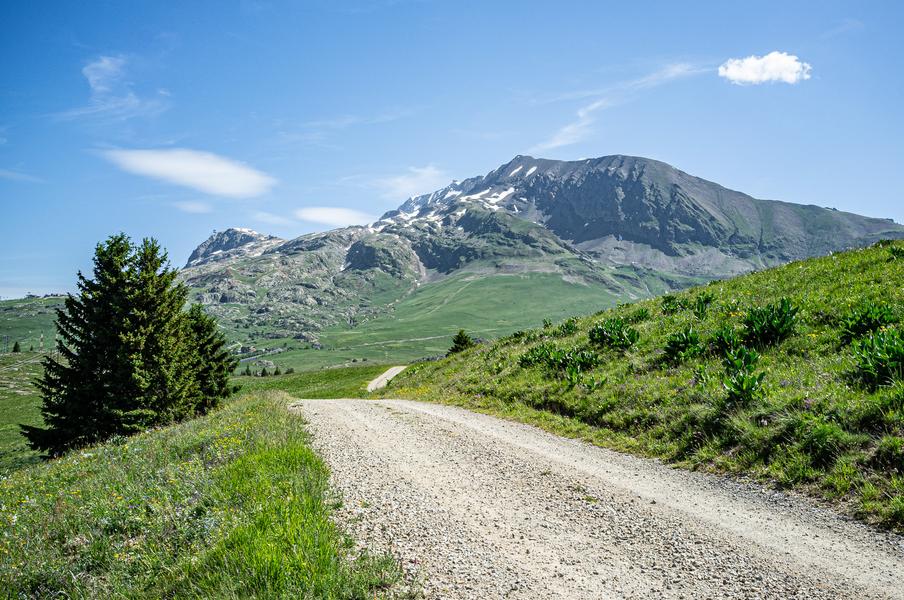
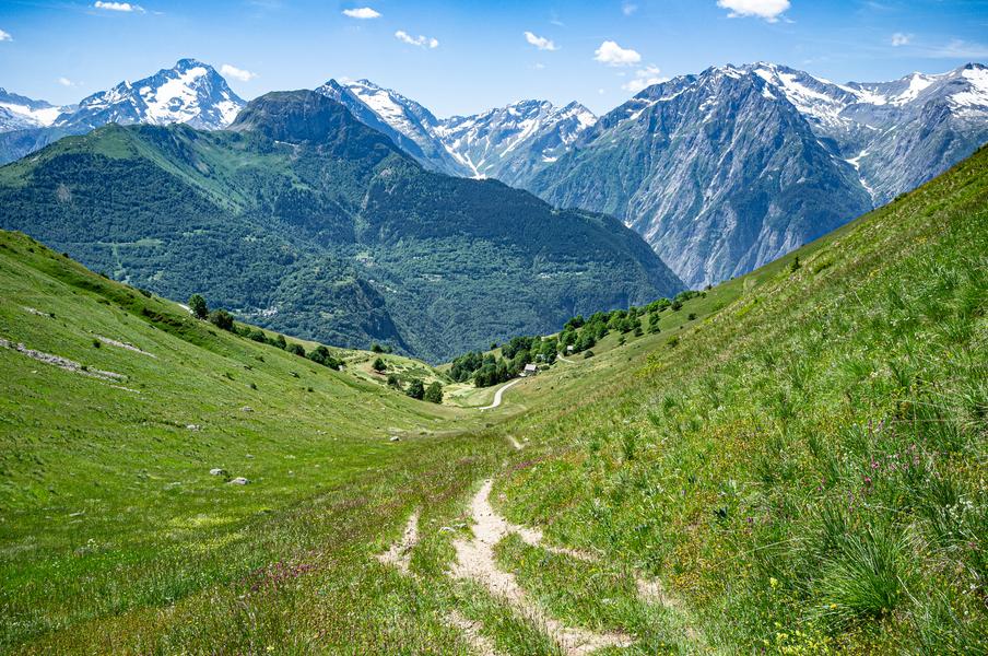
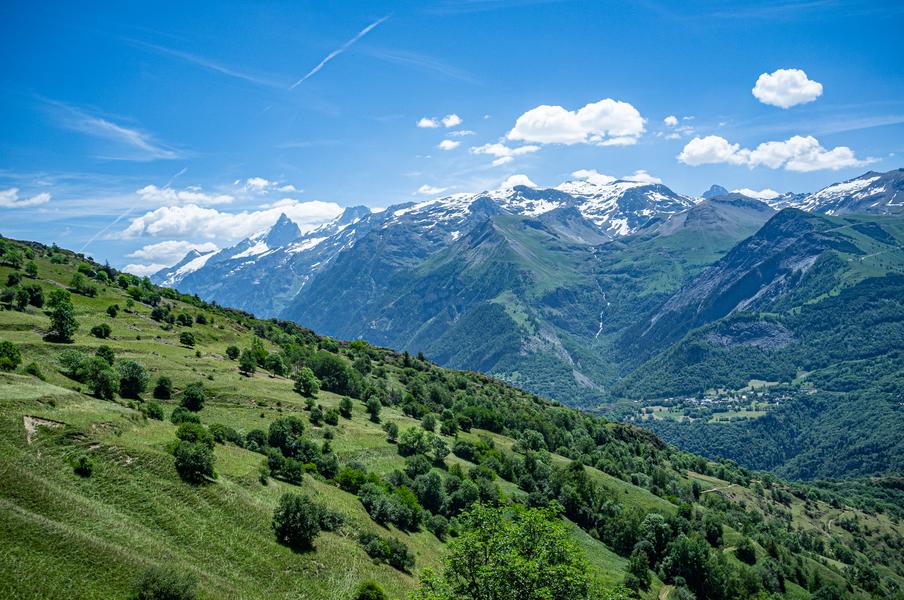
Medium-length route: ideal for a one-hour workout or an introduction to mountain trail running, starting from the resort and offering views of the five mountain ranges of the Oisans and the region’s remarkable peaks.
Terrain difficulty: Fairly easy: mostly on vehicle-accessible trails, except after the Saint-Géraud Chapel.
Rideability: Fairly smooth. With a good intermediate level of fitness, the entire route can be covered at a running pace.
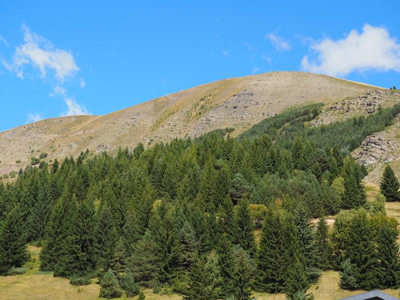
Beautiful views of the resort and the five mountain ranges of Oisans await you in a varied setting!
The route passes near alpine pastures, primarily at the Col de Cluy toward the end of the season (starting in August), so you may encounter livestock guard dogs. Check with the tourist office or visit Pasto-kézako.fr for information on how to interact with them safely. Hiking with your dog? Your dog must be kept on a leash throughout the hike, but should be let off the leash if you encounter a guard dog so that the interaction can take place as naturally as possible. Dogs that are poorly socialized or hunting dogs are strongly discouraged.
Route details
From Place des Orgières, head toward the Vacancéole residence.
Walk past it until you reach the end of the road, where you’ll find a trail that runs behind the building on the right.
Stay on this vehicle-accessible trail until you reach the Col de Maronne. At this intersection, turn slightly to the right and stay on the vehicle-accessible road, following signs for “Col de Cluy.”
You’ll gradually see the village of Huez and Alpe d’Huez on your left, and you’ll pass near the chairlifts.
At the “Combe Lombard” intersection, follow “Col de Cluy” again to the right.
Cross the pass until you find a sign reading “Sous le col de Cluy” pointing toward “Auris-Station” on a trail descending to the right. This path will take you past the St-Ilpice Chapel.
Return to the vehicle trail on the right and follow signs for Auris-Station; you’ll pass by the small St-Géraud Chapel again, then enter a rolling trail with shaded wooded areas.
-
Pets welcome,
-
Motorhomes allowed,
-
Drinking water
-
Play area,
-
Picnic area,
-
Bar,
-
Public WC,
-
Car park,
-
Restaurant,
-
Ping pong table,
-
Charging stations for electric vehicles,
-
Free car park
Opening
From 30/04 to 31/10 daily.
The periods during which the trails are accessible vary from year to year depending on snow cover and weather conditions. In addition, trail conditions can change rapidly after a weather event and are not checked daily. If you encounter a section of the trail that is in poor condition or dangerous, turn back and report it to the tourist office upon your return.
Subject to favorable weather.
More details
Reserved space 330 cm wide < 100 m from the site
Informations to download
Discover more
-
2 - Les Sûres 1860 via the Col de Maronne and the forest
Place: Auris-en-Oisans
Elevation 270m

-
5 - The descent through the 21 hairpin turns of Piégut via Maronne and Les Sûres
Place: Auris-en-Oisans
Elevation 335m

-
6 - Piégut Forest and its 21 switchbacks; return via the Mine
Place: Auris-en-Oisans
Elevation 430m

-
7 - The Cassini Cross as seen from the Sarenne Pass
Place: Auris-en-Oisans
Elevation 510m

-
8 - Trail ombragé dans les hameaux d'Auris
Place: Auris-en-Oisans
Elevation 550m

Go there
Latitude : 45.056244
Longitude : 6.0782
Height : 1600
38142 Auris-en-Oisans
Go there
Place à l'entrée de la station où se trouve l'Office de tourisme.
Information updated on 26/08/2026
by Oisans Tourisme