Le Faubourg
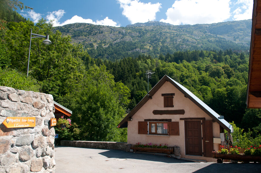
The Faubourg's circuit is a path combines Le Bessay Trail and Le Plan du Cerf Trail & point of view.
A variant a little more sporty, making you discover both the Hameau du Bessay below the resort, and the point of view of Plan de la Cerf. Take an IGN map with you.
TECHNICAL INFORMATIONS :
Departure: Tourist Office
Distance: 5.5km
Altitude difference: about 420m
Duration: 3 hours
Maximum altitude: 1500m
Marking precision: Follow the trails n ° 237, n ° 228, n ° 227 and n ° 231
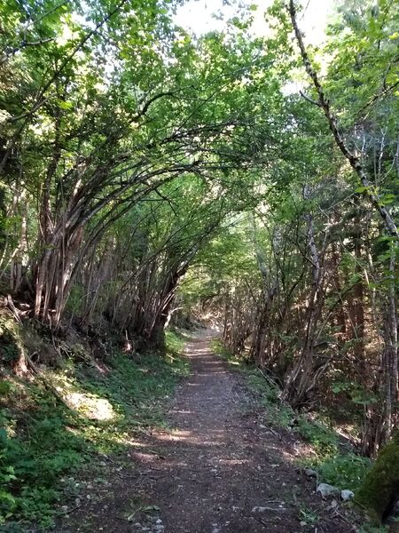
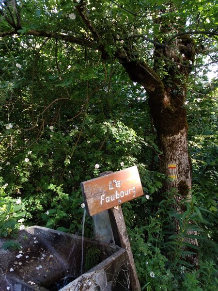
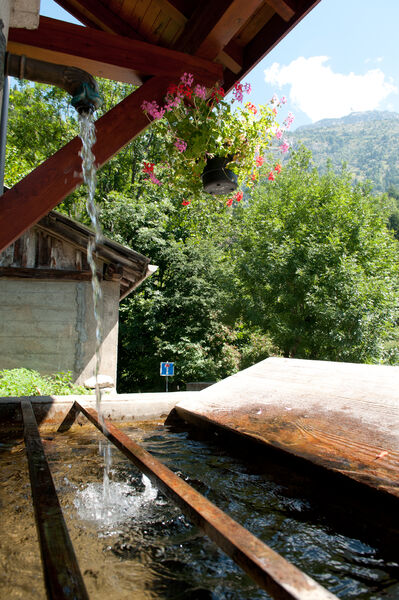
Itinerary: Get off the road as if to leave the station. Just before the entrance sign "Oz-en-Oisans", turn left on the path direction "Le Faubourg / Le Bessay". A former alpine path lined with stone walls, it descends into the forest and joins a wider track. Turn left and continue the descent. Continue towards the hamlet of Bessay. You cross then the torrent which is located in "La Combe du Pissarot". At the wash house of Bessay, take the path on the right and climb to the road. The climb continues in front, direction "Longer Pieces / The Plan of the Deer". The climb is quite steep and long. At the first wooden directional sign, continue uphill (do not turn right> cul-de-sac). At the crossroads of the summit, take the direction "Oz Station". A few steps further, continue your path to the right at the cabanon. You cross the torrent again. The walk ends in the heart of the Forest of Oz Leisure Park. Join the starting point by passing the tennis court and crossing the pedestrian zone.
Route details
Pets welcome
Car park
Opening
From 01/06 to 30/09.
More details
Not accessible in a wheelchair
Informations to download
Discover more


Go there
Latitude : 45.127846
Longitude : 6.070756
Height : 1350
38114 Oz-en-Oisans
Go there
Departure point: Oz-en-Oisans Tourist Office.
Access via the Eau d'Olle Express cable car from the village of Allemond.
Information updated on 03/06/2025
by Office de Tourisme d'Oz 3300