Lower lakes

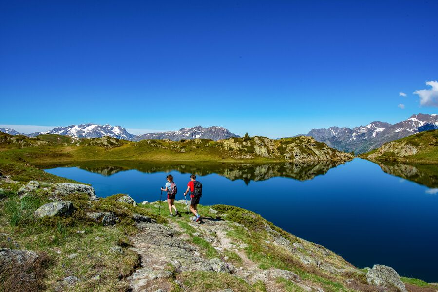
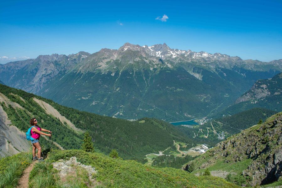
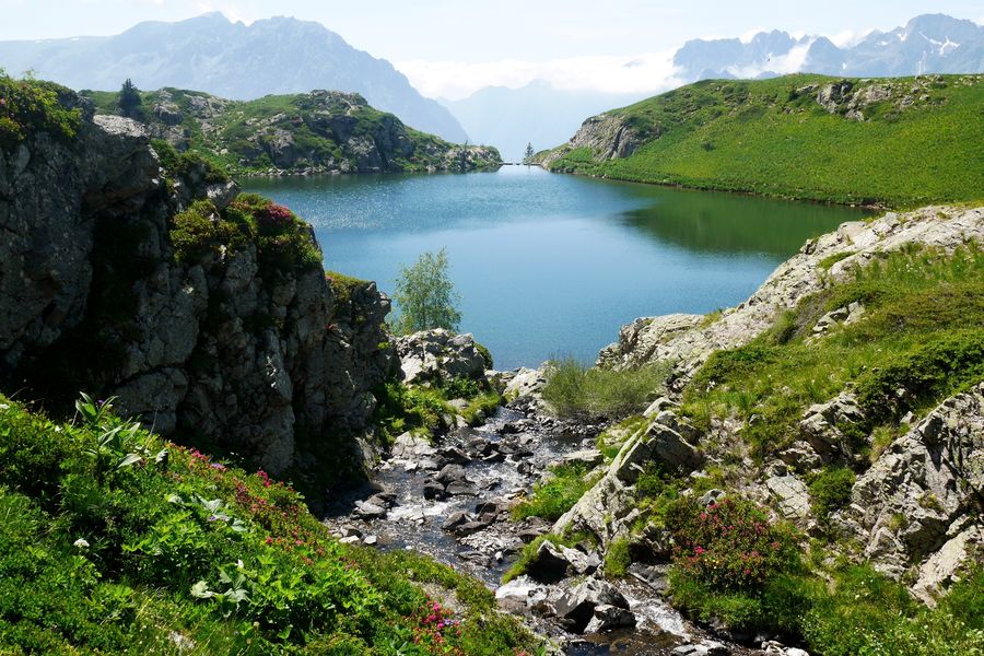
This walk is perfect for families and casual hikers. Easy access by gondola, you will enjoy the different views of the mountains of Belledonne, Taillefer, Grandes Rousses and Écrins.
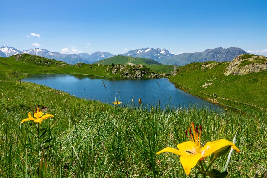
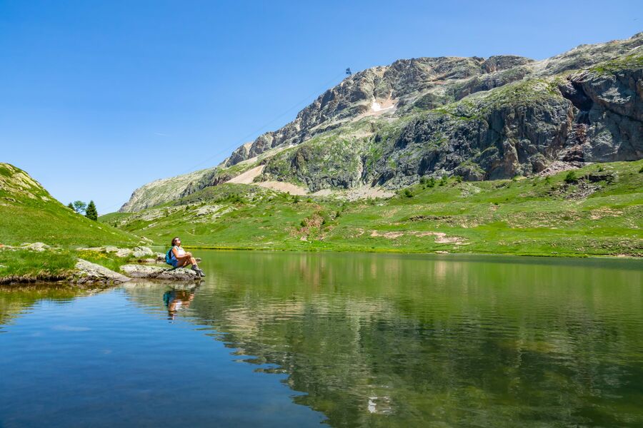
Put on your hiking boots and set off to discover the Lower Lakes plateau, also known as the Petites Rousses Lakes Plateau. Listed as a national heritage, this preserved area is full of surprises and suitable for the whole family. A walk half-day, can be done all day long by providing a delicious picnic, to enjoy admiring the land of pastures. 5 lakes, 5 different atmospheres: from peat to hectares of blueberries, while enjoying the beauty of the blossomed rhododendrons that adorn the banks, this walk in altitude will leave you with an unforgettable memory!
TECHNICAL INFORMATIONS :
Departure: Poutran 2100m or Alpette 2050m
Distance: 5,5km or 11km
Altitude difference: about 100m
Duration: 1h30 or 3h00
Maximum altitude: 2100m
Marking precision: From the Alpette 2050m, follow the signs towards Alpe d'Huez. From Poutran 2100m, take the direction of Alpette. Several trails are possible, allowing you to compose your circuit according to your desires.
Provide a pedestrian pass to take the lifts. Possibility for good walkers to start from Oz Station, through the circuit Plan de la Cerf.
Altitude restaurants on the way.
Route details
Pets welcome
Car park
Opening
From 01/06 to 30/09 daily.
More details
Not accessible in a wheelchair
Informations to download
Discover more
-
Le Bessey from le Plan du Cerf
Place: Oz-en-Oisans
Elevation 430m

-
Roubier Waterfall
Place: Oz-en-Oisans
Elevation 180m

-
Pré Reynaud
Place: Oz-en-Oisans
Elevation 10m

-
La Fare Mountain Hut from Oz resort
Place: Oz-en-Oisans
Elevation 950m
-
La Boucle des Lacs
Place: Oz-en-Oisans
Elevation 100m

-
Pré Reynaud
Place: Oz-en-Oisans
Elevation 50m

-
Le Faubourg
Place: Oz-en-Oisans
Elevation 320m

-
L'Alpette, Lake Carrelet loop
Place: Oz-en-Oisans
Elevation 50m
-
Besson Lake loop
Place: Oz-en-Oisans
Elevation 130m

-
Upper lakes
Place: Oz-en-Oisans
Elevation 100m

-
The ferruginous source
Place: Oz-en-Oisans
Elevation 340m

-
Le Pré de la Pierre
Place: Oz-en-Oisans
Elevation 290m

-
Circuit des Sangliers
Place: Oz-en-Oisans
Elevation 750m

-
Oz-Allemond via the ascent to Oz
Place: Oz-en-Oisans
Elevation 40m

-
Cascade du Roubier
Place: Oz-en-Oisans
Elevation 190m

Go there
Latitude : 45.127846
Longitude : 6.070756
Height : 2100
38114 Oz-en-Oisans
Go there
Access via the Eau d'Olle Express cable car from the village of Allemond.
By the Alpette cable car from Oz / By the Poutran cable car from Oz.
Information updated on 12/07/2026
by Office de Tourisme d'Oz 3300