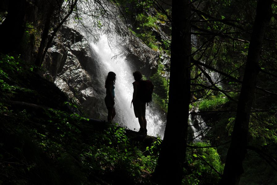
Roubier Waterfall

This circuit will take you to discover one of the natural heritage of Oz, its cascade.
TECHNICAL INFORMATIONS
Starting point: Oz en Oisans
Duration There/Back: 1h15
Level: Easy
ITINERARY
Cross the car park, under the Poutran lift, go past the VTT washing area, go down the Moontain Hotel and then follow the direction to “Le Bessay” on your right handside. The descent is on a path and then on an old Roman road. Go over the bridge “Pont du Gay”, past the fountain and old barn, towards the waterfall. When you get there look out for the holes that were the entrance to an old coal mine. Return the same way or by the path “La Combe”.
Route details
Pets welcome
Car park
Opening
From 01/06 to 30/09.
More details
Not accessible in a wheelchair
Informations to download
Discover more
-
Le Bessey from le Plan du Cerf
Place: Oz-en-Oisans
Elevation 430m

-
Lower lakes
Place: Oz-en-Oisans
Elevation 205m

-
Upper lakes
Place: Oz-en-Oisans
Elevation 100m

-
Circuit des Sangliers
Place: Oz-en-Oisans
Elevation 750m

-
Le Pré de la Pierre
Place: Oz-en-Oisans
Elevation 290m

-
Oz-Allemond via the ascent to Oz
Place: Oz-en-Oisans
Elevation 40m

-
Lake of Lauvitel
Place: Venosc

Go there
Latitude : 45.127846
Longitude : 6.070756
Height : 1350
38114 Oz-en-Oisans
Go there
Departure point: Oz-en-Oisans Tourist Office.
Access possible from the Eau d'Olle Express cable car from the village of Allemond.
Information updated on 03/06/2025
by Office de Tourisme d'Oz 3300