The Three Saints countryside

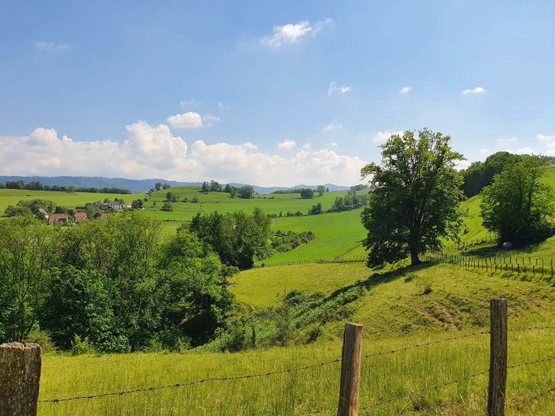
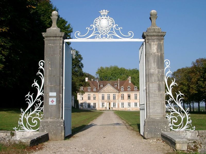
A tour of the Dauphiné countryside, with panoramic views of the Guiers Gorge and the Chartreuse from the Valdaine hills, where cattle farming is still very much alive. Remarkable castles and churches dot the route.
ROUTE
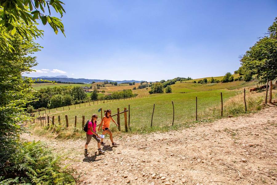
At the start, notice the beautiful church of Saint-Jean-d'Avelanne with its square tower and exposed stone walls. You'll soon reach the shady Melet path lined with chestnut trees. After the hamlet of La Brancha, the path climbs up into the Valdaine hills.
Once you reach Le Bapt, the landscape opens up to the Chartreuse and Epine mountains. After another climb, look down on the bucolic Ainan valley and the Guiers gorges a little further on your left.
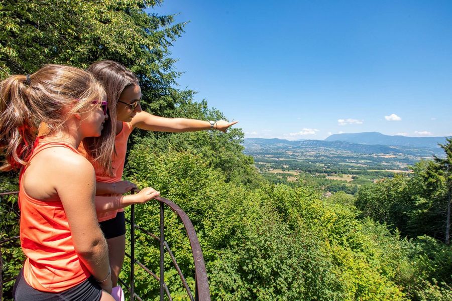
Pass through the hamlet of La Sauge and then follow the meadows where the cows graze. Once in the forest, look out for the Sacré-Coeur site on your left. This statue, erected by parishioners at the end of the 19th century, offers a view over the valley and the Bugey region.
The path along the edge of the forest leads back down to the church, where there is a fresco illustrating Saint Martin giving his cloak to a beggar. The village of Vieux Saint-Jean and the Combe pond brighten up the end of the route.
WAYMARKING AND SIGNPOSTING
From the ST-JEAN D'AVELANNE town hall, follow the yellow signs and the following signposts:
Chemin du Melet > La Brancha > Le Bapt > Crête de la Sauge > La Sauge > Sacré-Coeur > L'Antiquaire > Les Forêts > Sacré-Coeur
La Sauge > Sacré-Coeur > L'Antiquaire > Les Forêts > Le Menou > Return to SAINT-JEAN-D'AVELANNE
Route details
Pets welcome
-
Public WC,
-
Car park
Opening
All year round daily.
Informations to download
Discover more


Go there
Latitude : 45.507074
Longitude : 5.672527
Height : 320
38480 Saint-Jean-d'Avelanne
Go there
Information updated on 09/06/2026
by Office de Tourisme des Vals du Dauphiné