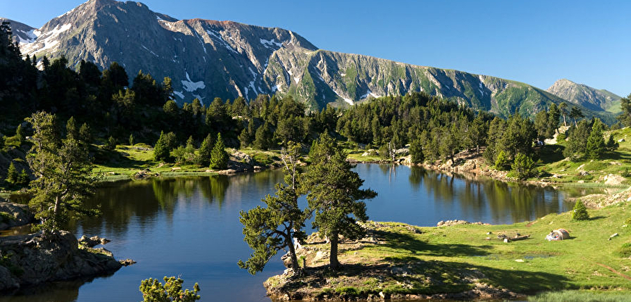
Achard lake
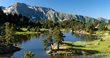
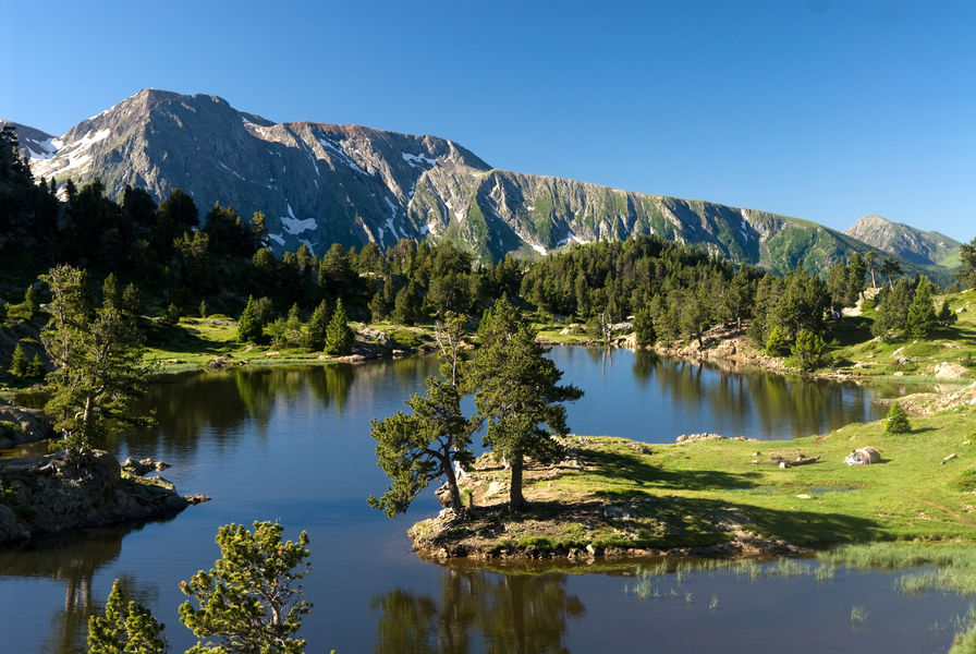
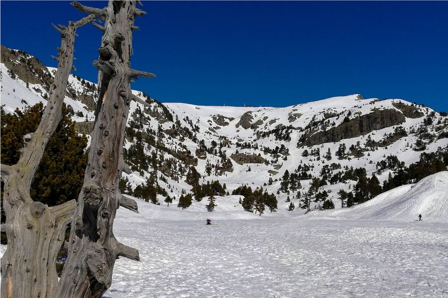
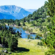
With an air of Canadian rocky mountains, this pretty mountain lake is easily visible from the Col de l'Infernet and Croix de Chamrousse in summer, and snow-covered in winter.
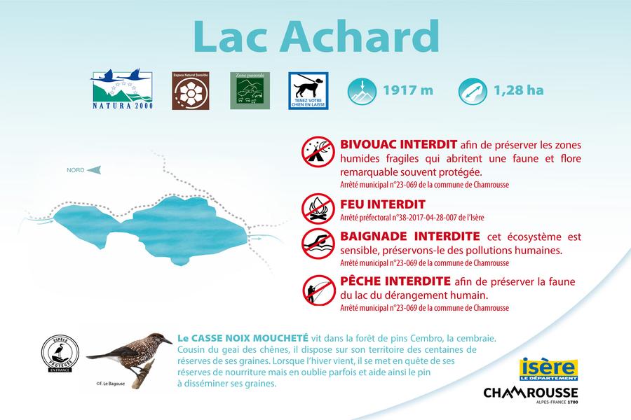
Lac Achard: 1,917 meters above sea level and 1.28 hectares in surface area.
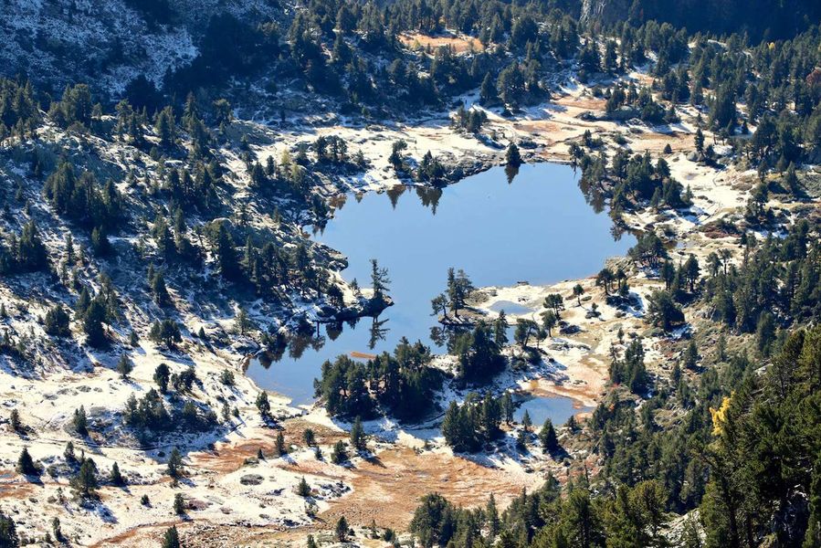
It can be explored on foot or on snowshoes in winter. It consists of a main lake in the form of a series of small lakes that are in the process of being filled in (the exact name is Achard Lakes). In fine weather, you'll have an exceptional view of the Taillefer massif.
Lac Achard is part of the Espace Naturel Sensible (ENS) "Plateau de l'Arselle et lac Achard". It is also located in a Natura 2000 zone.
Fire, collecting wood, camping, gathering, fishing and swimming (even for dogs) are strictly forbidden (subject to fines). Dogs must be kept on a leash. Bivouacs are permitted from sunset to sunrise, from 7pm to 9am (except from May 1 to October 31 + Infernet area).
Please stay on the trails to preserve these fragile environments.
Practical information
Services
Pets welcome
Activities
Swimming is forbidden
Time schedule
From 01/01/26 to 12/31/26
-
Monday :
Open
-
Tuesday :
Open
-
Wednesday :
Open
-
Thursday :
Open
-
Friday :
Open
-
Saturday :
Open
-
Sunday :
Open
-
Jours fériés :
Closed
Prices
Free access.
Download documents
See more
-
Arselle Peatbog (Preserved Natural Area)
Place: Chamrousse
-
Chamrousse 1750 - Lac Achard
Place: Chamrousse
Elevation 220m
-
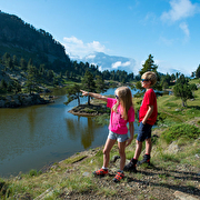
Arselle plateau - Achard lake
Place: Chamrousse
Elevation 300m
-
Snowshoe itinerary: Lac Achard via Clairières
Place: Chamrousse
Elevation 225m
-
Snowshoeing trail: Lac Achard by Arselle
Place: Chamrousse
Elevation 311m
-
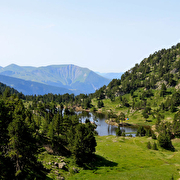
Arselle plateau - Achard lake running trail
Place: Chamrousse
Elevation 409m
-
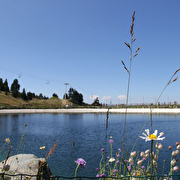
Vallons lake
Place: Chamrousse
-
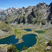
Robert lakes
Place: Chamrousse
-
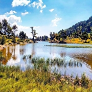
Chamrousse lakes loop
Place: Chamrousse
Elevation 710m
-
Chamrousse 1750 - Lac Achard
Place: Chamrousse
Elevation 220m
-
Arselle plateau - Achard lake
Place: Chamrousse
Elevation 300m
-
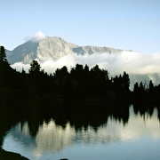
Lac Achard loop
Place: Chamrousse
Elevation 330m
-
Chamrousse 1750 - Croix de Chamrousse, via Achard lake
Place: Chamrousse
Elevation 550m
-
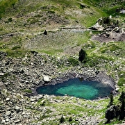
Small lakes at Col de l'Infernet
Place: Chamrousse
Go there
Latitude : 45.113784
Longitude : 5.901761
38410 Chamrousse
Go there
From Grenoble: car or bus + hike
Resort road access: Rocade Sud > exit no. 2 "Uriage" > Route départementale 111 (RD 111) on the Luitel side.
Recommended parking: main parking lot (P3), 390 avenue du Père Tasse (approx. 100 meters and 2 minutes' walk - pay attention in winter).
Public transport - Chamrousse 1750 - Roche Béranger stop:
- regular bus service all year round: N93 (to/from Grenoble), "Chamrousse 1750" stop [merging of former bus routes T87, Transaltitude and Destination neige Skibus / nature Estibus 707].
- bus line / shuttle on reservation weekdays excluding public holidays: Flexo 57 to/from Uriage [former TAD TouGo transport on demand - line G701].
- resort shuttle in winter and summer: "Centre Commercial (1750)" stop (to/from Chamrousse 1650 - Recoin and Chamrousse 1600 - plateau de l'Arselle/nordic area)
Information updated on 11/08/2025
by Office du Tourisme de Chamrousse