Mountain bike circuit - The soul of the hills

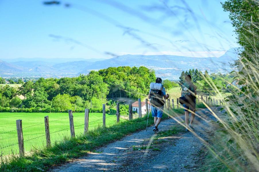
Take a stretch of the GR65, offering lovely views of the Chartreuse massif and Mont Blanc. Calm and rejuvenation guaranteed!
ROUTE:
From the car park along the 17d departmental road below the church, go back up the road alongside the church on your left, then look out for the small oratory on the right at Brocard.
Continue along the GR65 St-Jacques de Compostelle path and soon reach a track with a view of Mont Blanc opposite. At Les Allimards, turn right and leave the GR65. An alternation of small roads and paths takes you through the heart of hills that are sometimes cultivated and sometimes grazed by cows.
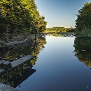
After Bois Reyer, the path goes deeper into the forest. On your right, you will overlook the Etang du Vivier, where you are likely to see a few fishermen.
At Gréhaut, you catch up with the GR65 as far as Côte Simandre on a fairly flat section with clear views at first, then into the Valencogne woods. The path then descends for 1 km. The slope is steady but quite steep. Take care.
The return to Valencogne is very pastoral. A flat path leads you past meadows and the village can be seen in the distance. On your left is a small pond. Then, after taking a larger road for 100m, the path suddenly climbs again. Don't worry, it's only a short climb.
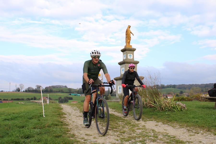
Head back down to the football stadium (on your right) and up the path opposite, which leads to the Madonna, a statue of Notre-Dame des Vignes. The spot at the top is ideal for a picnic (there is a table). Take in the views of the Bugey peaks on your left and dominate the village of Valencogne on your right. Continue on to the starting point.
SIGNS AND MARKINGS :
Follow the yellow signs and the following signposts:
Chemin du lavoir > Le Brocard > Jalinières > Les Allimards > Montfrelet > Ferme du Mont > Bois Reyer > Le Gréhaut > Sourilloud > Côte Simandre > Chemin de la Vie > Les routes > Croix du Jubilé > Le Brocard > Jalinières > Retour VALENCOGNE
Route details
Pets welcome
Car park
Opening
All year round daily.
Informations to download
Discover more
-
"Notre Dame des Vignes" : The Madonna
Place: Valencogne

-
Mountain bike circuit - Combe Lambert and the ridges path
Place: Montrevel
Elevation 250m
-
Mountain bike trail - The round of the ponds
Place: Saint-André-le-Gaz
Elevation 260m
-
MTB trail n° 2 - The heights of Lake Paladru
Place: Villages du lac de Paladru
Elevation 610m

Go there
Latitude : 45.498289
Longitude : 5.538654
Height : 570
38730 Valencogne
Go there
Information updated on 14/04/2026
by Office de Tourisme des Vals du Dauphiné