Mountain bike trail - The round of the ponds

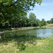
This trail will first lead you to the edge of Lake Saint-Félix. Then, it will lead you near the ponds of Tapon and Refeuille, well-known by fishermen. You will end at Malseroud’s pond, a Sensitive Natural Area.
ROUTE:
From the car park along the RD 1006 or from Saint-André le Gaz station, head towards ‘Bois Chaboud’.
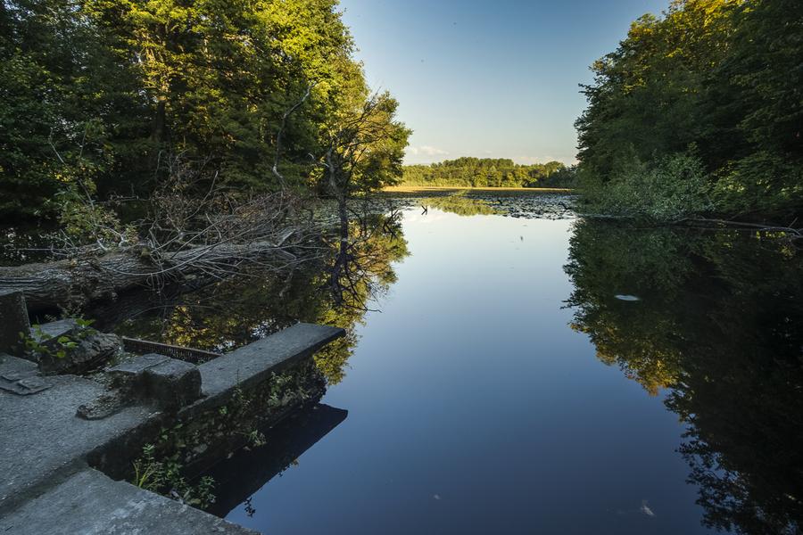
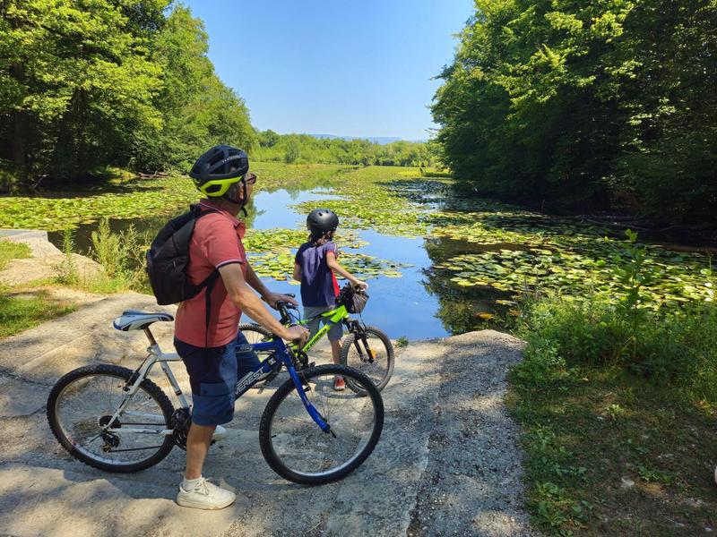
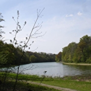
Once past this crossroads, a wide path leads you to Lac Saint-Félix, a designated Sensitive Natural Area (250m round trip to see the view from the lakeside). This natural glacial lake is a great place to spot the agile frog, as well as numerous birds and butterflies.
The rest of the route alternates between small roads and footpaths, with the exception of a 200-metre stretch on the D145 to La Batie Montgascon. Look out for Château de Renodel, built in the 19th century with 3 main buildings, including a high round tower topped by a pepperpot roof. After another 200m on the D145, head towards ‘Château de Donat’, where you can admire its brick tower.
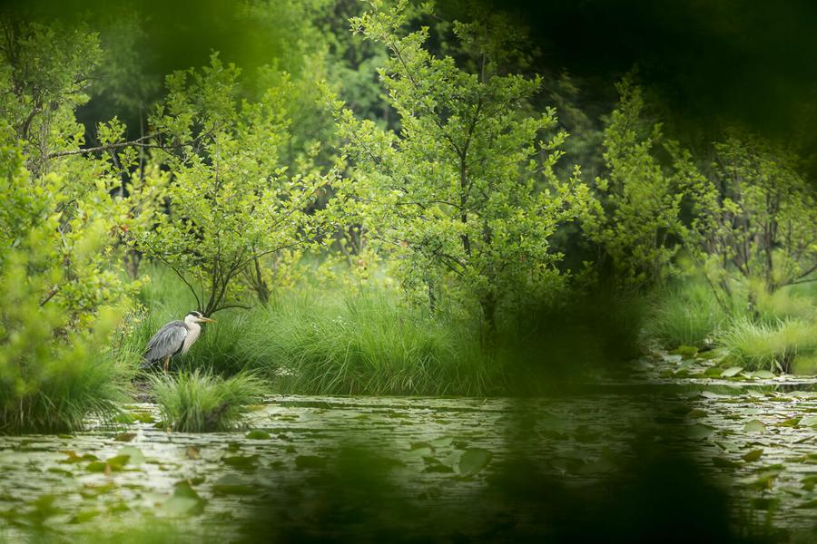
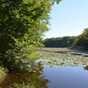
You will then arrive at the Malseroud pond. This sensitive natural area is ideal for birdwatching (wild coot, great crested grebe, grey heron), dragonflies, frogs and more. It is possible to walk around the pond (20min). Dogs must be kept on a lead.
Continue your tour through the village of Fitilieu. You then follow the wide, flat paths of the Fitilieu marshes and pass close to several ponds before returning to Saint-André le Gaz. You will also pass a number of pheasant farms. A tunnel allows you to cross the railway line on the way back.
This route can also start at Fitilieu.
Beware, this route is very pleasant in summer, but the paths through the marshes are often muddy in the wet season (November to April).
SIGNS AND MARKINGS :
Follow the yellow markings and signs:
ST-ANDRÉ LE GAZ > Bois Chaboud > le Bout du Lac > les Vaudrines
> Laye > Avolin > Château de Renodel > Château de Donat > les Bruniaux > Fitilieu > Château de Donat > Étang de Refeuille > Bois Chaboud > ST-ANDRÉ LE GAZ
Route details
Pets welcome
Car park
Opening
All year round daily.
Discover more
-
Malseroud's pond: Sensitive Natural Area
Place: Les Abrets en Dauphiné
-
Etang de Refeuille
Place: Saint-André-le-Gaz
-
Etangs Tapon et de Refeuille
Place: Saint-André-le-Gaz

-
Zoo : Le Domaine des Fauves
Place: Les Abrets en Dauphiné

-
Mountain bike trail - Confluence du Rhône
Place: Aoste
Elevation 100m
-
Mountain bike trail - Water paths
Place: La Chapelle-de-la-Tour
Elevation 90m
-
Mountain bike trail - Malseroud marsh and pond
Place: Les Abrets en Dauphiné
Elevation 60m

-
Saint-Félix Lake
Place: Saint-Didier-de-la-Tour
Go there
Latitude : 45.544528
Longitude : 5.524191
Height : 415
38490 Saint-André-le-Gaz
Go there
Information updated on 14/04/2026
by Office de Tourisme des Vals du Dauphiné