Mountain bike trail - Confluence du Rhône

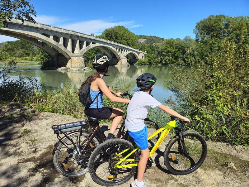
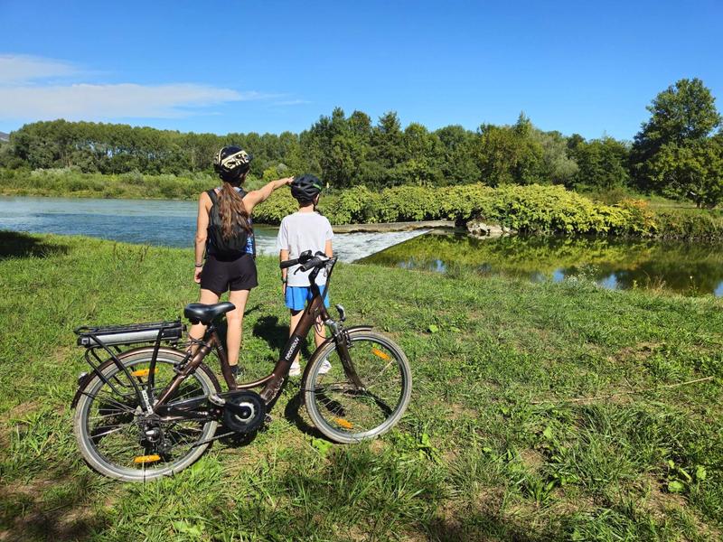
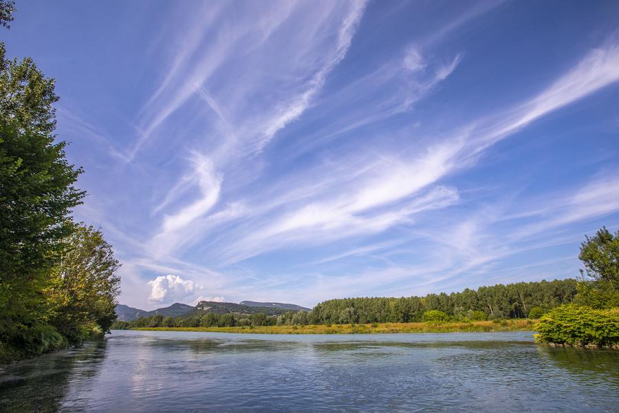
A flat route along the rivers of the Rhône, the Guiers and the Bièvre, with the Bugey mountains as a backdrop. Not to be missed !
An accessible loop with large paths for pedestrians and cyclists between various watercourses and dikes (the Bièvre, the Guiers and the junction with the Rhône). Take a moment to admire the landscape surrounding the Bugey mountains.
-------
Itinerary:
Start from the Gallo-Roman Museum's parking in Aoste.
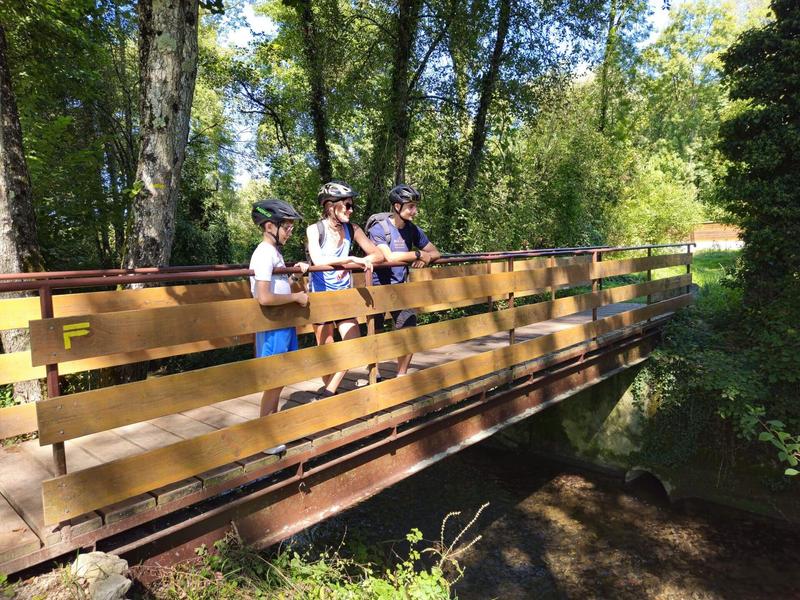
After leaving Aoste, you follow the Bièvre through woodland along a wide, peaceful path. You pass through the village of Saint-Didier d’Aoste and enter the Haut-Rhône French Nature Reserve, where the Rhône meets tributaries like the Bièvre and the Guiers. This wetland area, dotted with small islands, is a refuge for species such as the red kite, the Eurasian beaver, and the great crested newt. You can also spot wild orchids and carnivorous plants like the round-leaved sundew.
You continue on the broad path that runs along the Rhône and then the Guiers all the way to Lake Romagnieu, a leisure center that charges a fee in summer and offers a wide range of activities: swimming, pétanque, volleyball, tennis, fishing, bar-restaurant, etc. It is generally possible to walk around the lake free of charge outside summer, when the leisure centre is closed.
Between Romagnieu and Aoste, the route follows paths and small roads surrounded by cultivated fields.
Waymarking:
Follow the yellow marked path and the crossroads:
AOSTE > Normandoz > la Bièvre > Les Tuilières > St-Didier d'Aoste > la Digue du Rhône > Confluence > la Douane > le Château > Romagnieu > les Champagnes > AOSTE
Route details
Pets welcome
Car park
Opening
All year round daily.
Informations to download
Discover more
-
Leisure base "O' lac" : outdoor & water activities
Place: Romagnieu

-
Galloroman Museum
Place: Aoste

-
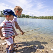
Fishing at Romagnieu Lake
Place: Romagnieu
-
Nature reserve of "Haut-Rhône Français"
Place: Groslée-Saint-Benoit

-
Mountain bike trail - The round of the ponds
Place: Saint-André-le-Gaz
Elevation 260m
-
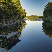
Mountain bike trail - Malseroud marsh and pond
Place: Les Abrets en Dauphiné
Elevation 60m

Information updated on 06/07/2026
by Office de Tourisme des Vals du Dauphiné