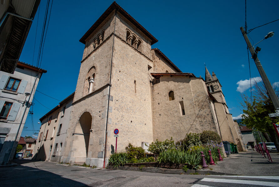
Boucle vélo de Reymure

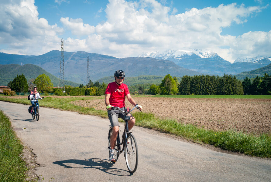
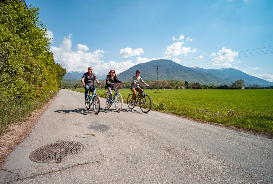
A loop in the heart of a wide agricultural plain.
Route details
Place de la République, the starting point for your tour, is surrounded by shops and has plenty of shady benches for a break or a bite to eat. With plenty of parking, bordered by the D1075 and served by buses 25 and 26, it's the ideal meeting place.
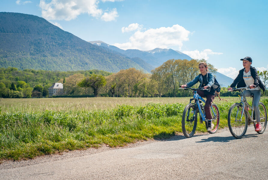
You'll quickly leave the center of Varces and make your way across the fields to Fontagneux, then Reymure, and finally the commune of Vif, on very little-travelled, level roads. The return journey follows the greenway along the Gresse torrent, bringing you back to your starting point without any difficulty. This walk is accessible to all and guarantees a good time with family or friends.
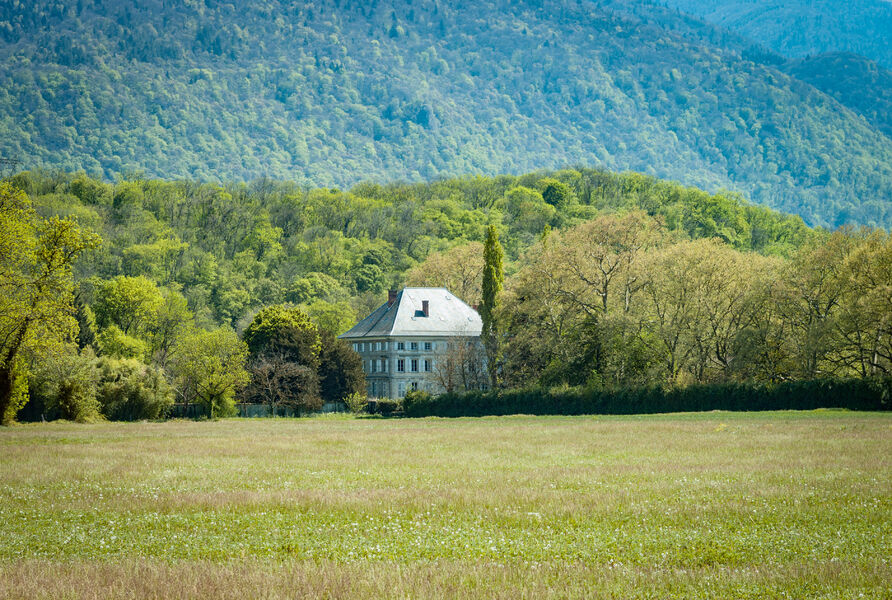
The points of interest we've selected are located a little way off the route and will encourage you to explore them for 5 to 10 minutes at a time. The route itself offers two very different atmospheres, with an agricultural plain on the way out and a mountain stream on the way back.
1 From Place de la République, turn right into Rue René Chrétien, then right again into Rue Jean Jaurès. At the next junction, cross avenue Joliot-Curie (D1075) and continue straight ahead on rue Léo Lagrange, which bends to the left 50 m further on.
2 After crossing the Torrent de la Gresse, turn left onto rue Notre-Dame de Lachal, then right onto route de Fontagneux. Opposite the cul-de-sac, turn right onto chemin de Fontagneux.
3 At the next junction, turn right again onto route du Gros Chêne.
4 At the stop sign, continue straight on, route de Fontagneux, for 2.9 km.
5 After passing under the A51 motorway, take the cycle path on the left-hand sidewalk. At the traffic circle, take the second exit and head for avenue d'Argenson, staying on the cycle path, this time on the right-hand side of the road. 500 m further on, continue in the direction of travel on avenue du 8 Mai 1945.
6 At the traffic circle, take the first exit on the right onto the D63, later renamed Avenue de Rivalta Di Torino.
7 Turn right onto rue du Polygone, which runs alongside the Gresse torrent. 800 m further on, take the green lane on rue de la digue.
8 After passing under the A51 again, turn left, leaving the greenway, and join the Chemin de Lachal, which becomes Route des Clapiers.
9 Turn left onto rue Notre-Dame de Lachal, then left again onto rue Léo Lagrange. This will take you back over the Gresse torrent and onto Avenue Joliot-Curie (D1075), bringing you back to your starting point.
Pets welcome
Parking nearby
Opening
All year round.
Subject to favorable weather.
Discover more
-
Eglise Saint Jean Baptiste de Vif
Place: Vif

-
Musée Champollion
Place: Vif
-
Boucle vélo Claix - Rochefort
Place: Le Pont-de-Claix
Elevation 132m

-
Boucle vélo de Reymure
Place: Varces-Allières-et-Risset
Elevation 64m
-
Boucle vélo Vif - Les Saillants-du-Gua
Place: Vif
Elevation 125m

-
Eglise Saint Jean Baptiste de Vif
Place: Vif
Go there
Latitude : 45.086121
Longitude : 5.68217
Height : 275
38760 Varces-Allières-et-Risset
Go there
TER Grenoble-Vif puis environ 5km de vélo pour rejoindre Varces.
Information updated on 06/05/2025
by Office de Tourisme Grenoble Alpes