Castles and farms of Bas Dauphiné

Numerous panoramic views of the Haute Bourbre valley and the peaks and full of heritage discoveries. The rammed earth farms with roofs covered in typical flaked tiles, fortified houses and castles will offer you a few breaks.
ROUTE
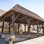
From the church, wander through the streets of Virieu, a medieval village built at the foot of its castle. The picturesque charm of the village centre can be seen in the typical Dauphiné houses, the murals recounting the history of the village, the Place du Trêve painted by the impressionist Jongkind and the wooden covered market hall with its gable roof made of tortoiseshell tiles. A map of the village is available at the Mairie (townhall).
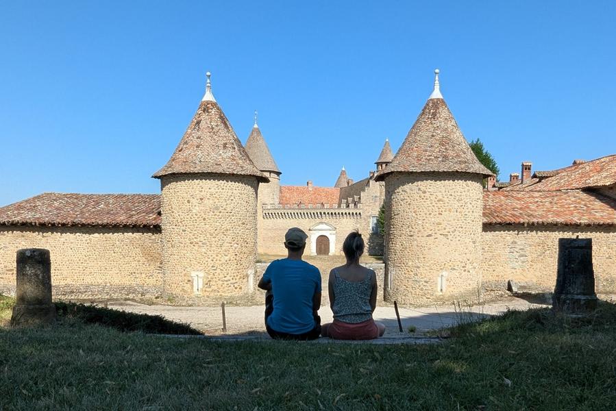
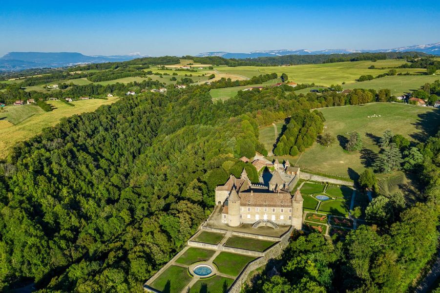
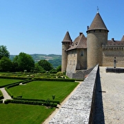
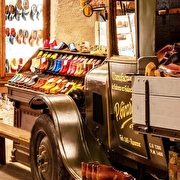
Once you reach the Trêve, head up towards the Château de Virieu either by the road or along a shady path (not recommended for mountain bikes or horses). You can visit the château and the Galoche museum, which traces the history of said shoe, a clog cousin (depending on opening hours).
Then, until the Croix de l'Homnézy, there are uninterrupted views over the valleys and mountain ranges.
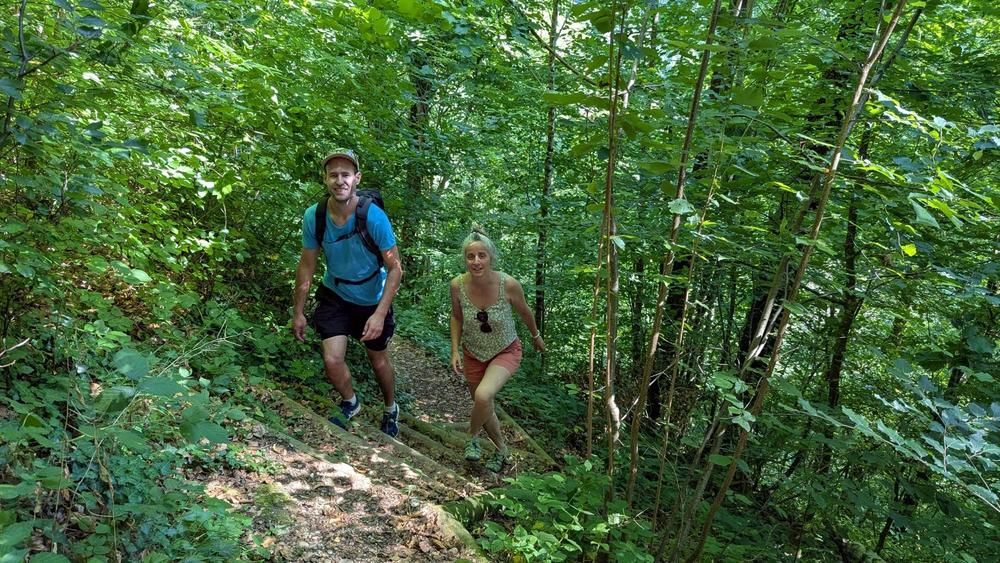
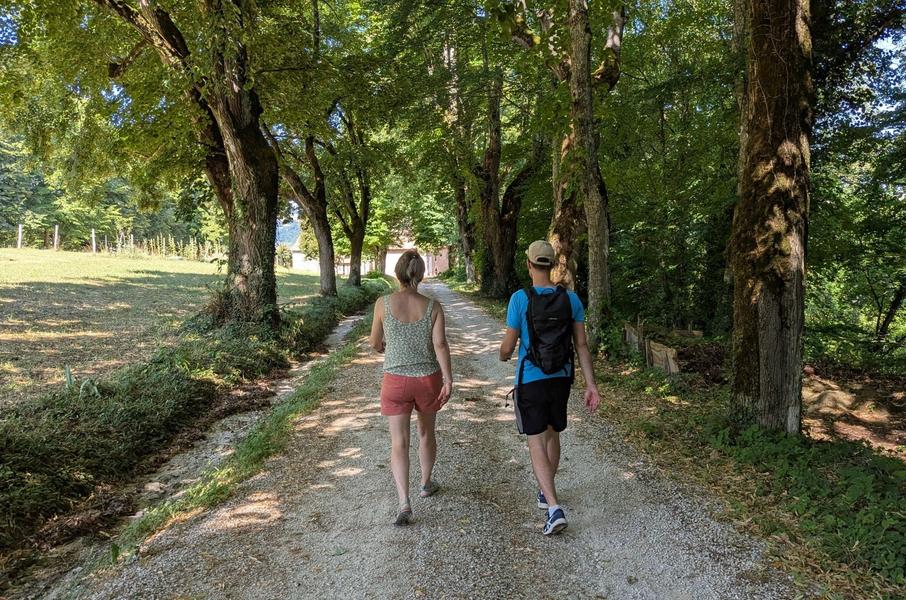
The route then heads gradually deeper into the forest until the Croix du Moine Mort, a reference to the nearby former Carthusian monastery. The forest track then descends through the valley described by Lamartine in his poem. On the edge of the forest below stands the 17th-century château de Pupetières. Tours are available (subject to opening hours). You can also see the Dutch painter Jongkind house a few hundred metres further on. Finally, you return to Virieu along a wide path through the Bourbre valley.
WAYMARKING AND SIGNPOSTING
From the Virieu-sur-Bourbre SNCF station, follow the yellow signs to the village of Virieu (alternative starting point - car park in front of the church).
From the church parking, follow yellow markings and the following crossroads:
VIRIEU > Le Trêve > Château de Virieu > Les Cardelles > Croix de l’Homnezy > Chemin de Ripaillon > Les Frênes > Croix du Moine Mort > Mallein > Combe Mounard > Les Tournelles > Le Trève > VIRIEU (church parking lot)
Please note: add 2.2km (1.1km one way) if starting from the SNCF trainstation.
Route details
Pets welcome
-
Car park,
-
Public WC
Opening
All year round daily.
Discover more
-
Virieu Castle
Place: Val-de-Virieu
-
Pupetières Castle
Place: Châbons

-
"Bigallet" : liquors and syrups factory
Place: Val-de-Virieu

-
Clog museum
Place: Val-de-Virieu
-
"In Jongkind' footsteps through Dauphiné" tour
Place: Val-de-Virieu

-
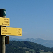
Route from station to station - La Trans' Vals du Dauphiné
Place: La Tour-du-Pin
Elevation 950m
-
Orientation trail in Val-de-Virieu
Place: Val-de-Virieu
-
Circuit découverte de Val-de-Virieu
Place: Val-de-Virieu
Elevation 20m

Go there
Latitude : 45.484821
Longitude : 5.475554
Height : 406
38730 Val-de-Virieu
Go there
This circuit is accessible by TER from GRENOBLE via the line Grenoble - Saint-André-le-Gaz (stop at Virieu-sur-Bourbre).
This circuit is accessible from LYON via the line Lyon - Chambéry (stop in Saint-André-la-Gaz) then Saint-André-le-Gaz - Grenoble (stop in Virieu-sur-Bourbre).
Information updated on 15/04/2026
by Office de Tourisme des Vals du Dauphiné