



Laffrey Lake Walking Tour
A pleasant hike that will allow you to admire the natural beauty of Lake Laffrey from various angles, alternating between passages through the forest and crossings through typical hamlets.
Distance : 13 km
Elevation gain : +442 m
Route type : loop
Route details
Departure: North Beach Parking Lot at Lake Laffrey
Leaving the parking lot, turn left onto "Chemin du Point du Jour" for about 50 meters. At "La Pivodière", follow a small path that climbs to the left. Continue straight towards "Lac Mort", passing through "Les Allards". Walk alongside "Lac Mort" for a few meters then follow a small forest path that climbs towards "La Croix du Mollard". Turn left towards "La Condamine" and "Le Pey". Reach the village of Laffrey.
Take "Chemin Sourd" to continue towards "Les Viéroux", then walk along "Route de La Monta". Reach the village of Les Prats, reach "Route du Four", then turn left onto "Route des Prats". Continue straight ahead, cross the D113, and climb towards "Col du Nize"t via a small forest path. Descend towards "Combe du Trait" then continue towards "Les Gonthéaumes" and the village of Petichet.
Then head towards Saint-Théoffrey Plage. Cross the RN85 to reach a forest trail. Continue towards the hamlet of "La Fayolle" and continue on the main road before turning right onto "Chemin du Sabot", which climbs uphill, then continue walking along the trail above the D115a road.
Arriving at "Les Josserands", walk along the road on "Chemin du Point du Jour". Continue downhill towards Lac de Laffrey and return to the starting point.
Pets welcome
Opening
All year round daily.
Subject to favorable weather.
Informations to download
Discover more
-
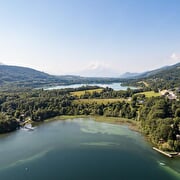
Lake Laffrey
Place: Laffrey
-
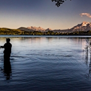
Lake Petichet
Place: Saint-Théoffrey
-
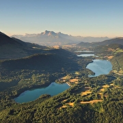
Lake Mort
Place: Laffrey
-
La Pierre Percée
Place: Pierre-Châtel

-
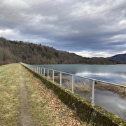
Rando-poussette : le lac Mort
Place: Laffrey
Elevation 8m
-
A walkd along the shores of Pierre-Châtel Lake
Place: Pierre-Châtel
Elevation 35m

-
Lake Pierre Châtel
Place: Pierre-Châtel

-
Lac de Pierre-Châtel - Aire de pique-nique des Cordeliers
Place: Pierre-Châtel
Go there
Latitude : 44.968391
Longitude : 5.780409
Height : 911
Route N85
38119 Pierre-Châtel
Go there
Information updated on 12/10/2026
by Matheysine Tourisme


