Lakes from Chamrousse to La Pra shelter (stage 10 of GR®738 hike)

Hike GR®738 from Chamrousse - the Pra shelter, nothing to envy to the greatest routes of great trekking!
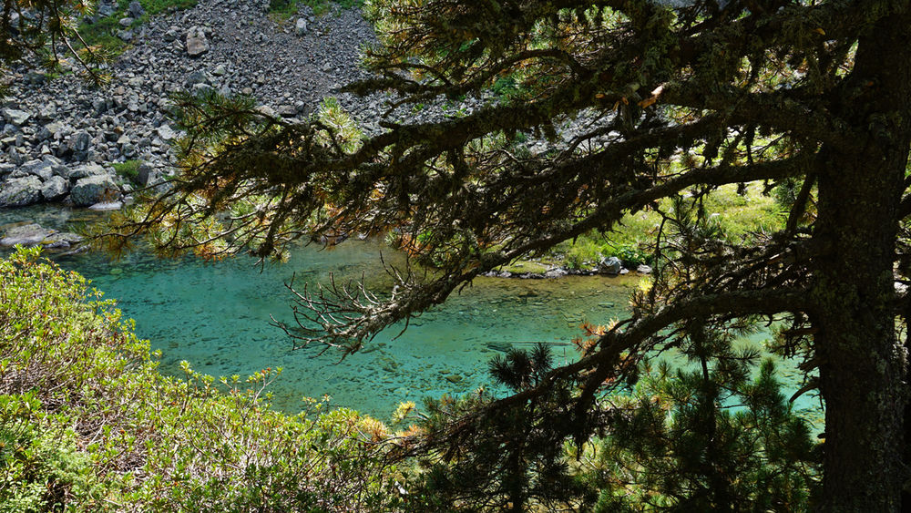
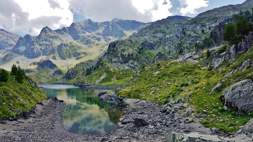
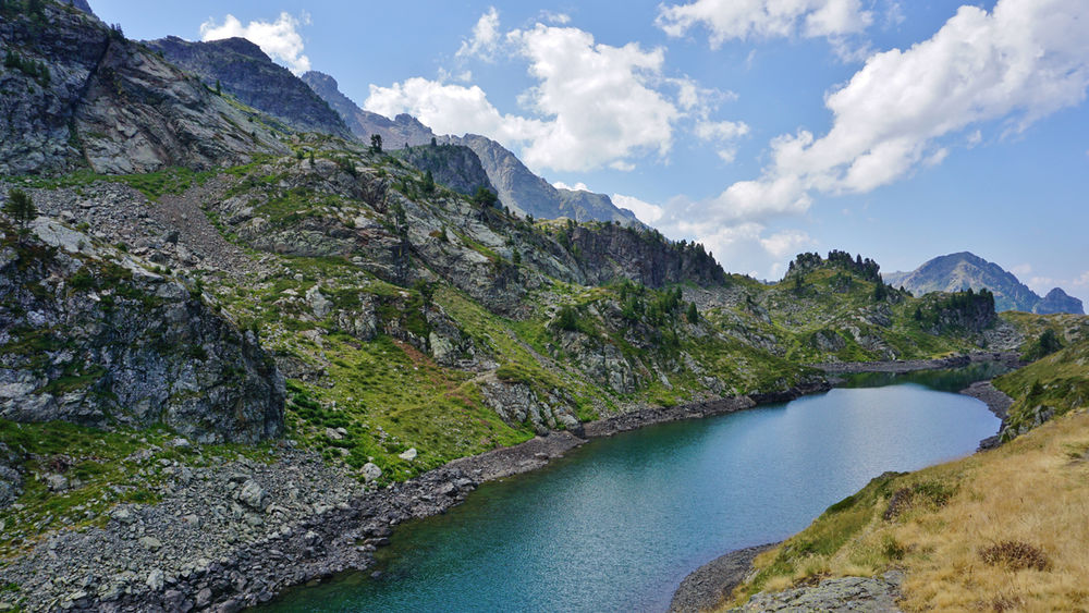
Discover the beautiful and more or less secret mountain lakes on the 10th stage of the GR®738 : Léama, Longet, Bernard, Claret ...
The hiking trail to the refuge de la Pra alternates between ponds and clearings, but it's above all the crystal-clear lakes that make this place exceptional:
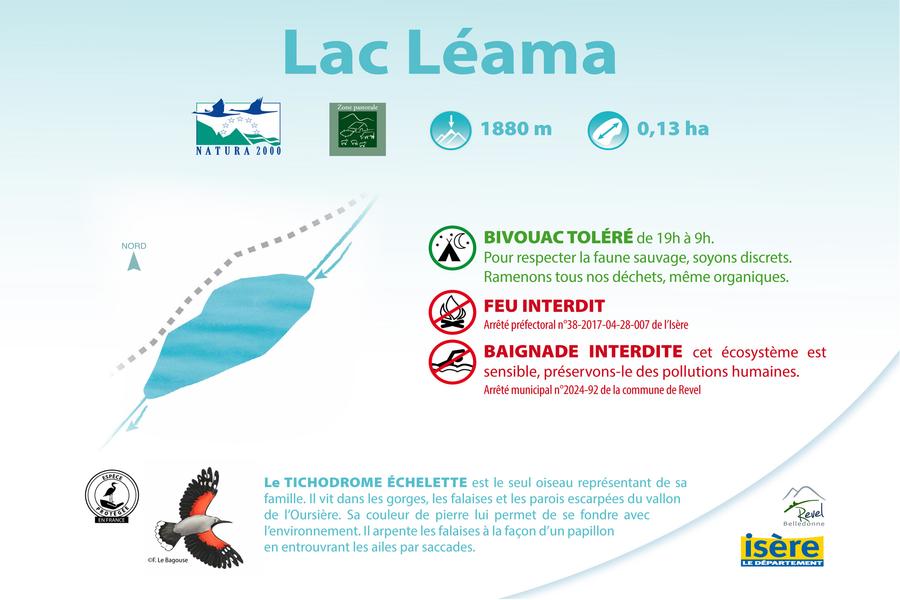
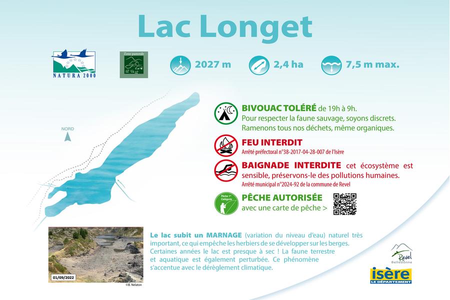
- lac Léama: 1,880 meters above sea level and 0.13 hectares (1,300 m2) in size (bivouac allowed 7-9pm, but fire and swimming prohibited)
- lac Bernard: 1997 meters altitude and 0.4 hectares (4000 m2) surface area (bivouac tolerated 19h-9h, fishing authorized with fishing permit, but fire and swimming prohibited)
- lac Longet: 2027 meters altitude, 2.4 hectares surface area and 7.5 meters maximum depth (bivouac tolerated 19h-9h, fishing authorized with fishing permit, but fire and swimming prohibited)
- lac Claret: 2047 meters altitude, 1.2 hectares surface area and 5.5 meters maximum depth (fishing authorized with fishing permit, but bivouacs, fires and swimming prohibited).
- lac Merlat: altitude 2044 meters, surface area 2.4 hectares, maximum depth 12 meters (fishing authorized with fishing permit, but bivouac, fire and swimming prohibited)
- lac David: 2212 meters altitude, 1 hectare surface area and 11 meters maximum depth (bivouac tolerated 7pm-9am, fishing authorized with fishing permit, but fire and swimming prohibited). It is located 500 meters above the refuge de la Pra, to the west when you have the refuge at your back.
Nearby: Lac du Crozet and Lac du Doménon (Lac du Petit Doménon and Lac du Grand Doménon).
Once a chalet-hotel, the refuge de la Pra was very popular with hikers and climbers. Now refurbished, it sleeps 90 in summer.
The GR®738 - Haute traversée de Belledonne is a challenge to be taken up over one or more days to discover the southern part of this massif, leaving from Chamrousse for a one-day loop or a two-day itinerary. Lakes and pastures meet ski lifts, tourism and pastoralism share the space.
Swimming in the lakes is forbidden by municipal decree of the commune of Revel.
Practical information
Services
Pets welcome
Sustainable tourism
This practice invites you to connect with nature, to admire the landscapes of the valley, the lakes and the summits you will cross and maybe you will be surprised to see wild animals... Keep your eyes open and be discreet!
Time schedule
From 04/15/26 to 11/15/26
-
Monday :
Open
-
Tuesday :
Open
-
Wednesday :
Open
-
Thursday :
Open
-
Friday :
Open
-
Saturday :
Open
-
Sunday :
Open
-
Jours fériés :
Closed
Subject to favorable weather
Prices
Free access.
See more

Go there
Latitude : 45.126534
Longitude : 5.879748
38410 Chamrousse
Go there
From Grenoble: car or bus + long-distance hiking trail (GR®)
Station road access: Rocade Sud > exit no. 2 "Uriage" > Route départementale 111 (RD 111) Seiglières side.
Recommended parking: Parking Henry Duhamel (P7), avenue Henry Duhamel (200 m and about 2 minutes' walk from the start of the hike).
Public transport :
Chamrousse 1650 - Recoin stop:
- regular bus service all year round: N93 (to/from Grenoble), "Chamrousse 1650" stop (merger of former T87, Transaltitude, Destination neige Skibus / nature Estibus 707)
Good to know - another stop less than 500m away (Place de Belledonne, near the Tourist Office):
- transportation by reservation on weekdays, excluding public holidays: Flexo 57 (to/from Uriage), "Chamrousse - Le Recoin" stop (former TAD TouGo - line G701)
- resort shuttle in winter and summer: "Télécabine (1650)" stop (to/from Chamrousse 1750 - Roche Béranger and Chamrousse 1600 - plateau de l'Arselle/nordic area).
Information updated on 13/04/2026
by Office du Tourisme de Chamrousse