Le plateau des lacs - lac Fourchu

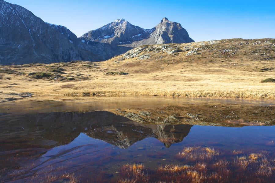
Very rich area with lakes, wetlands and peatlands.
This very nice walk will take you to a beautiful plateau.
It is a real garden, nature sanctuary for many species.
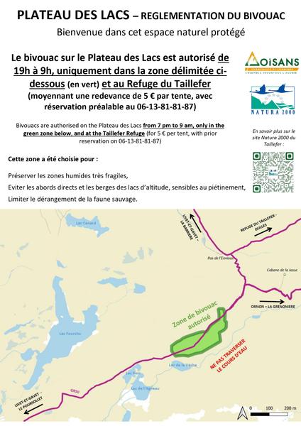
Lake Fourchu is the largest lake of the plateau formed by piles of rocks on northern part of the range of Taillefer. Dominated by the summit of Taillefer in the south, the lake is surrounded by lake Canard in the north , lake Veche, lake Noir, lake Agneau and lake Culasson in the southwest.
The lake Fourchu was named because of its split shape. The vegetation around the lake is entirely composed with an alpine grass. The only tree is a conifer perched on the only little island in the lake. The lake is 2050 m high in altitude, it is frozen and covered with snow during the winter.
Please stay on the main trail, help us to protect the peatlands and the fragile lake banks. You are in a very rich but fragile area.
Fario trout and rainbow trout presence, AAPPMA Grenoble manager
Practical information
Services
Pets welcome
Time schedule
From 04/01/26 to 11/11/26
-
Monday :
Open
-
Tuesday :
Open
-
Wednesday :
Open
-
Thursday :
Open
-
Friday :
Open
-
Saturday :
Open
-
Sunday :
Open
-
Jours fériés :
Closed
Accessible after thaw, off winter season
See more

Go there
Latitude : 45.024649
Longitude : 5.86104
Height : 2052
38350 Alpe Du Grand Serre
Go there
Information updated on 12/06/2026
by Matheysine Tourisme