The farms of Rif Bruyants - Family Walk

Very nice hike to the abandoned farms of Rif Bruyant. Discover this small charming hamlet.
Sleeping and eating available in The Rif Bruyant Refuge.
START at "Le Mollard" or "Le Fontagneu"
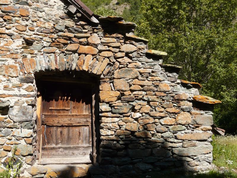
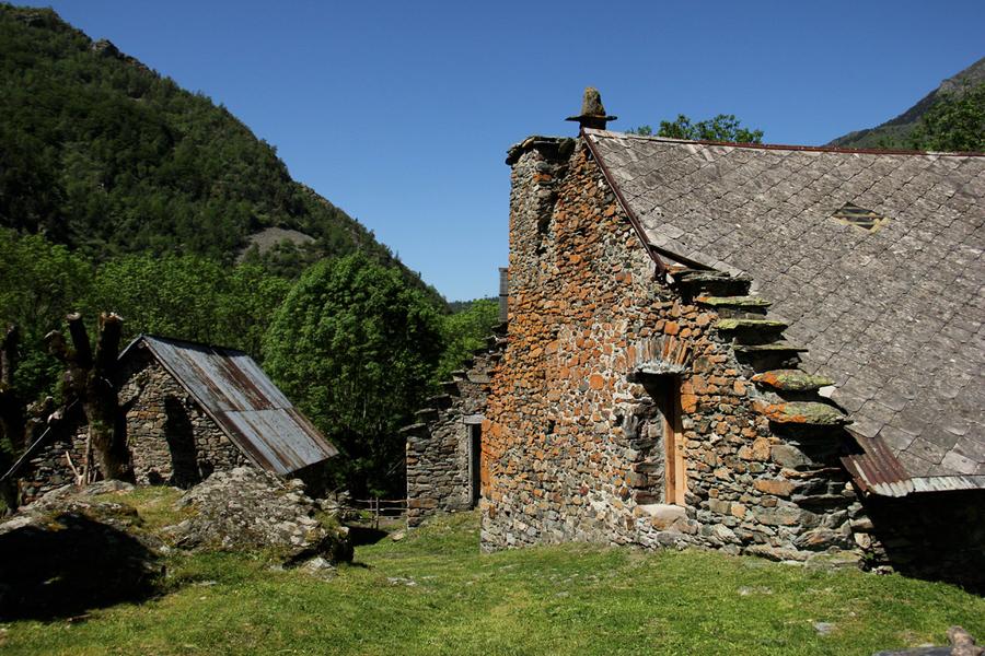
Connected to the Roizonne valley by an old "calade" path (a rough cobbled trail made of embedded stones), the little-known Rif Bruyant valley is full of hidden treasures. Discover the stone houses of the old hamlet, with their slate roofs and stepped gable ends. As you stroll through the beautiful hay meadows bordered by low stone walls, you may come across the natural icehouses, once used to age the valley’s cheeses.
Parking from Alpe du Grand Serre:
Take the D114 towards La Mure. After passing the hamlet of Fontagneu, you’ll find a parking area on your left, near the hamlet of Le Mollard.
From La Mure:
Take the D114 towards Alpe du Grand Serre. After the village of La Valette, the parking area and the hamlet of Le Mollard are on your right.
If the parking is full, you can turn back to the hamlet of Fontagneu, which also offers parking. The additional few hundred meters are signposted and follow the river below.
Trail Directions:
Take the path toward Le Mollard. Once in the hamlet, turn right to reach the Rif Bruyant stream. Continue through the wooded area until you reach a stone-arched bridge. Do not cross this bridge — instead, follow the stream uphill. At the second bridge, cross over the Rif Bruyant and take the narrower trail to the left, which leads into the forest and up to the old hamlet.
Important:
You are in a protected natural area.
Please stay on marked trails, keep your dog on a leash, do not light fires, and carry out all your trash or dispose of it in the nearest bins. Respecting and preserving this special place is essential!
Route details
-
Pets welcome,
-
Accommodation,
-
Restaurant
Parking nearby
Opening
From May 1st to October 31st.
Subject to snow conditions.
The Rivobruenti refuge is open daily in July and August, and on weekends from May to October.
More details
Informations to download
Tips
For more adventurous hikers: experienced walkers can continue up the steep valley of the Rif Bruyant, lined with lush meadows, all the way to the lake of the same name, hidden in the heart of a wild, rocky cirque.
Discover more
-
Le tour de La Valette
Place: La Valette
Elevation 690m
-
Le plateau des lacs - lac Fourchu
Place: Alpe Du Grand Serre
-
Lake Poursollet
Place: Alpe Du Grand Serre
-
The 3-lake path to Poursollet
Place: Alpe Du Grand Serre
Elevation 120m

-
Stroller walk – Fontagneu
Place: Lavaldens
Elevation 10m

-
Rivobruenti Mountain Hut
Place: Lavaldens

-
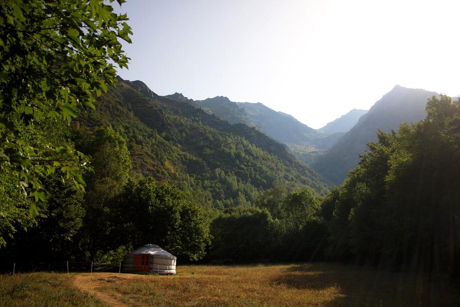
Rivobruenti Yurt and Cabin
Place: Lavaldens

-
Parc National des Ecrins
Place: Valbonnais
Go there
Latitude : 44.961
Longitude : 5.8727
Height : 1000
Route D114
38350 Lavaldens
Go there
Information updated on 24/07/2026
by Matheysine Tourisme