Robert lakes

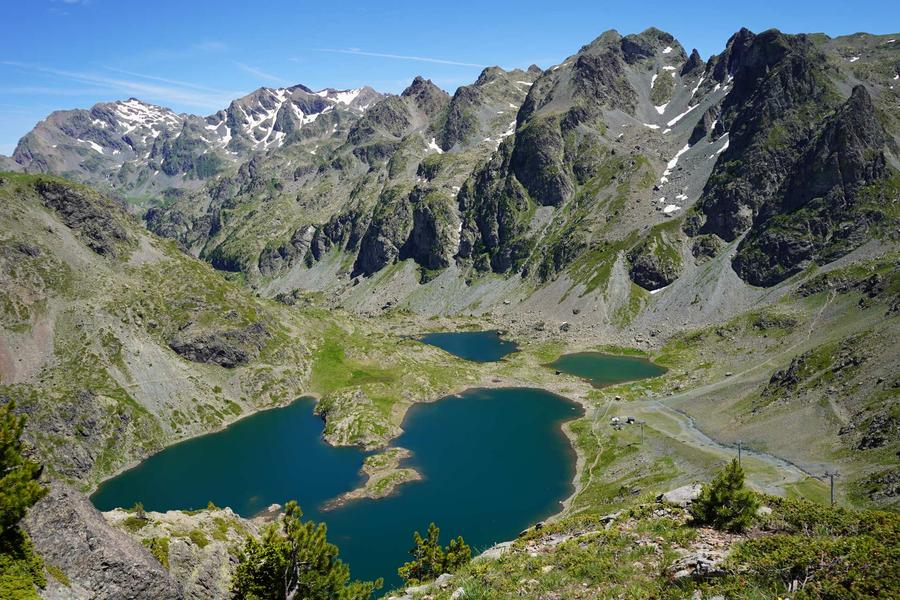
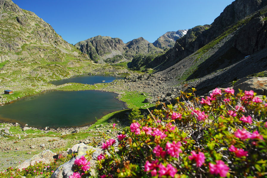
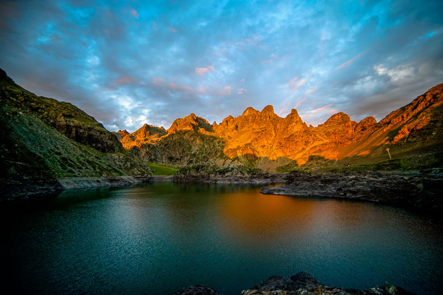
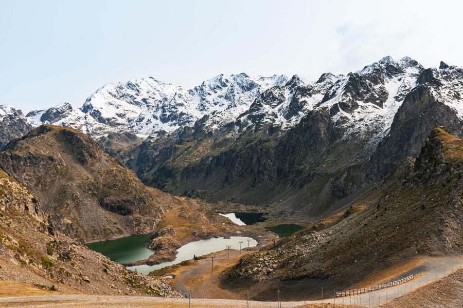
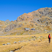
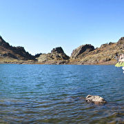
Nestled in a mineral setting, the Robert Lakes are easily accessible from the La Croix gondola, for hiking in summer and downhill skiing in winter.
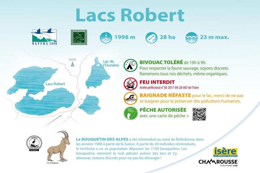
Robert lakes: 1998 meters altitude, 28 hectares and 23 meters maximum depth.
The four Robert lakes are located at an altitude of 1,998 meters, and occupy a 28-hectare area at the bottom of the basin of a natural cirque. They are bordered and dominated to the east by Petit Van (2,439 meters), Grand Van (2,448 meters) and Grand Sorbier (2,526 meters).
The 2,677-hectare site is also part of the Natura 2000 network, under the name "Cembraie, pelouses, lacs et tourbières de Belledonne, de Chamrousse au Grand Colon".
In summer, you can hike at the gateway to the high mountains, fish with a fishing permit in the Robert lakes (rainbow trout and Arctic grayling), bivouac tolerated from 7pm to 9am and fire prohibited.
Access to the lake is tolerated to soak your feet and cool off, but it's important to respect the environment by limiting our impact (avoid using sun cream, don't trample vegetation, and leave the water as clean as possible).
In winter, you can go ice diving here, and discover a ski slope and ski lift that bear the same name.
Be careful in winter, as their altitude means they remain frozen and covered in snow.
Practical information
Services
Pets welcome
Activities
-
Fishing,
-
Water sports
Sustainable tourism
Resort labelled Famille Plus and Flocon Vert. Chamrousse Town Hall in collaboration with the ski lift company and the Tourist Office, awarded the Quality Tourism label.
Time schedule
From 01/01/26 to 12/31/26
-
Monday :
Open
-
Tuesday :
Open
-
Wednesday :
Open
-
Thursday :
Open
-
Friday :
Open
-
Saturday :
Open
-
Sunday :
Open
-
Jours fériés :
Closed
Prices
Free access.
See more
-
Chamrousse 1650 - Robert lakes by the Brèche Sud
Place: Chamrousse
Elevation 410m

-
Chamrousse 1650 - Pourettes lake - Robert lakes by the Brèche Nord
Place: Chamrousse
Elevation 440m

-
Robert lakes loop
Place: Chamrousse
Elevation 250m

-
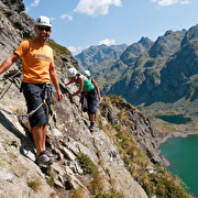
"Lacs Robert" Via ferrata
Place: Chamrousse
-
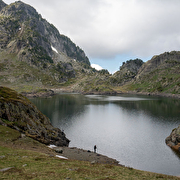
Fishing in Robert lakes
Place: Chamrousse
-
Robert lakes climbing site
Place: Chamrousse

-
Lakes from Chamrousse to La Pra shelter (stage 10 of GR®738 hike)
Place: Chamrousse

-
Aiguille - Robert lakes running trail
Place: Chamrousse
Elevation 531m

-
Running trail Ramettes - Robert lakes
Place: Chamrousse
Elevation 600m

-
Croix of Chamrousse - Robert lakes by the slope
Place: Chamrousse
Elevation 10m

-
Achard lake
Place: Chamrousse

-
Croix de Chamrousse - Robert lakes from Lessines
Place: Chamrousse
Elevation 20m

-
Chamrousse lakes loop
Place: Chamrousse
Elevation 710m
-
GR®738 hike - From Chamrousse to La Pra mountain refuge (step 10)
Place: Chamrousse
Elevation 915m
-
Chamrousse 1650 - Pourettes lake - Robert lakes by the Brèche Nord
Place: Chamrousse
Elevation 440m
-
Chamrousse 1650 - Robert lakes by the Brèche Sud
Place: Chamrousse
Elevation 410m
-
GR®738 - Mountain pasture loop: Robert lakes
Place: Chamrousse
Elevation 550m

-
Hiking without a car - The Oursière waterfall and the Robert lakes
Place: Chamrousse
Elevation 1147m
Go there
Latitude : 45.130832
Longitude : 5.914207
Height : 1990
38410 Chamrousse
Go there
From Grenoble: car or bus (+ cable car ascent) + hike
Resort road access: Rocade Sud > exit no. 2 "Uriage" > Route départementale 111 (RD 111) Seiglières side.
Recommended parking: parking Henry Duhamel (P7), avenue Henry Duhamel (200 meters and about 2 minutes' walk - pay attention in winter).
Public transport :
Chamrousse 1650 - Recoin stop:
- regular bus service all year round: N93 (to/from Grenoble), "Chamrousse 1650" stop (merger of former T87, Transaltitude, Destination neige Skibus / nature Estibus 707).
Good to know - another stop less than 500m away (Place de Belledonne, near the Tourist Office):
- transport by reservation on weekdays excluding public holidays: Flexo 57 (to/from Uriage), "Chamrousse - Le Recoin" stop (former TAD TouGo - line G701)
- resort shuttle in winter and summer: "Télécabine (1650)" stop (to/from Chamrousse 1750 - Roche Béranger and Chamrousse 1600 - plateau de l'Arselle/nordic area).
Information updated on 06/10/2026
by Office du Tourisme de Chamrousse