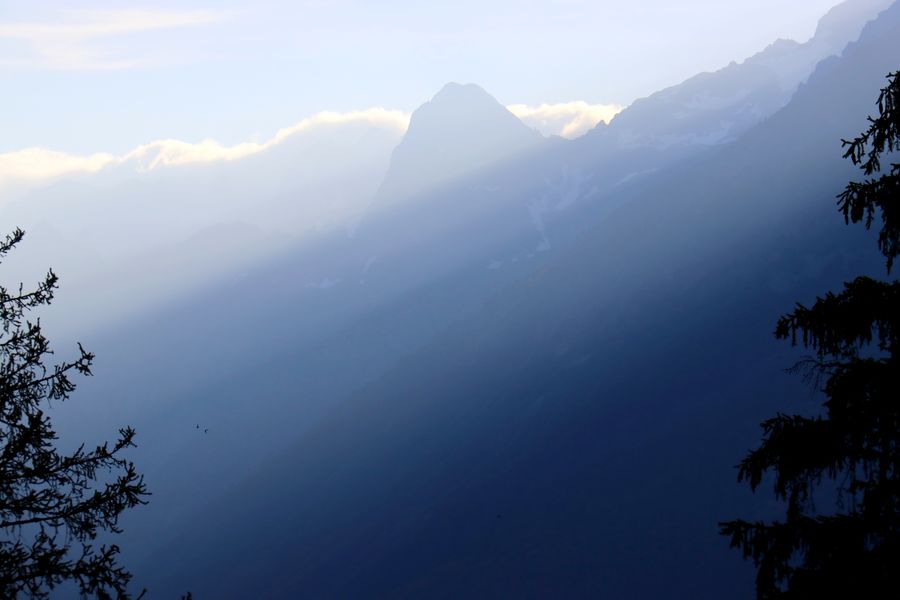
Le Bessey from le Plan du Cerf

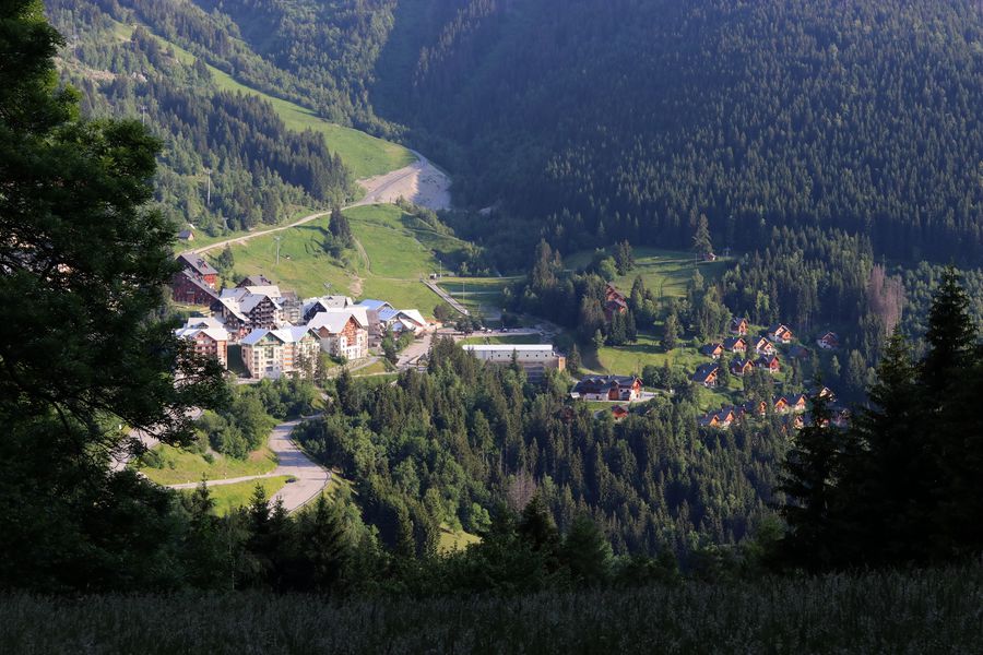
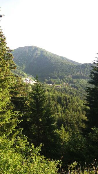
A medium level trail from Oz resort, offers you to discover unique views of the resort and the vallée de l'Eau d'Olle.
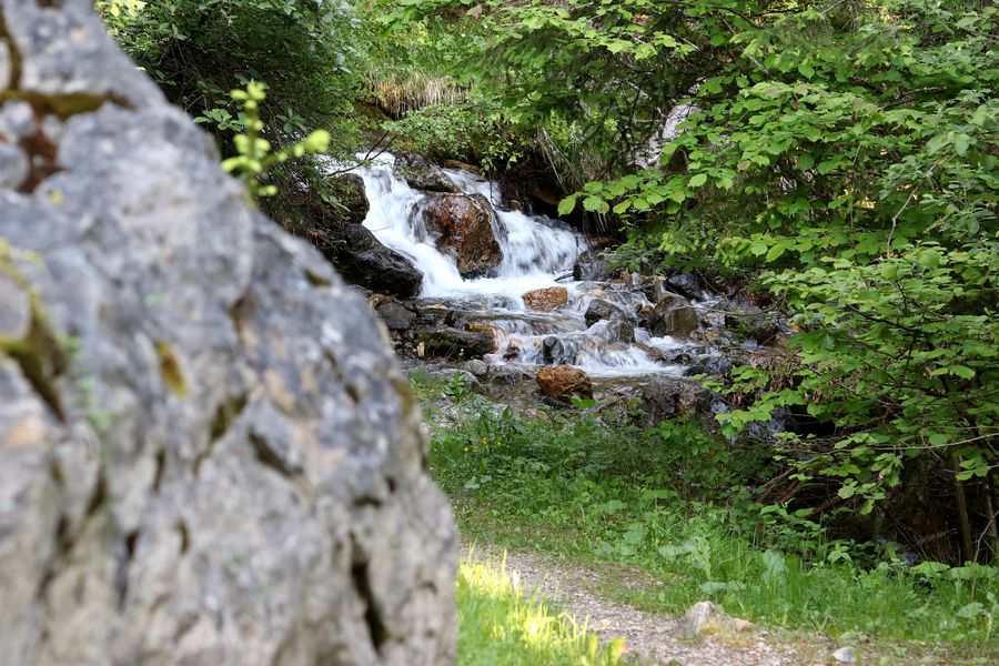
Armed with your walking sticks, embark on an adventure in the forest to go up to the Plan du Cerf. From the resort, go to the Forest Leisure Park. After a few hundred meters, a short climb will take you to the highest point of the ride, 1480m to Plan du Cerf. A quiet and peaceful place, giving you time to admire the view of the valley and the Oz resort. Go back down direction "Le Bessay", between hazel trees and pine trees. In the hamlet of Bessay, take the opportunity to make a short detour to the waterfall of Roubier. Go back to the starting point following the signs "Oz Station".
TECHNICAL INFORMATIONS :
Departure: Tourist Office
Distance: 5km
Altitude difference: about 400m
Duration: 2 hours
Maximum altitude: 1480m
Marking precision: Follow the OBP signs, trails n ° 231 and n ° 227 to the Plan du Cerf, n ° 228 to the hamlet of Bessey, n ° 237 to the Oz station.
INTERESTS: Stream, flora
Route details
Pets welcome
Car park
Opening
From 01/06 to 30/09.
More details
Not accessible in a wheelchair
Discover more
-
Roubier Waterfall
Place: Oz-en-Oisans
Elevation 180m

-
Lower lakes
Place: Oz-en-Oisans
Elevation 205m

-
Pré Reynaud
Place: Oz-en-Oisans
Elevation 10m

-
Le Faubourg
Place: Oz-en-Oisans
Elevation 320m

-
Upper lakes
Place: Oz-en-Oisans
Elevation 100m

-
The ferruginous source
Place: Oz-en-Oisans
Elevation 340m

-
Le Pré de la Pierre
Place: Oz-en-Oisans
Elevation 290m

-
La Fare Mountain Hut from Oz resort
Place: Oz-en-Oisans
Elevation 950m
-
Cascade du Roubier
Place: Oz-en-Oisans
Elevation 190m

Go there
Latitude : 45.128
Longitude : 6.0708
Height : 1350
38114 Oz-en-Oisans
Go there
Departure point: Oz-en-Oisans Tourist Office.
Access via the Eau d'Olle Express from the village of Allemond.
Information updated on 03/06/2025
by Office de Tourisme d'Oz 3300