Circuit des Sangliers

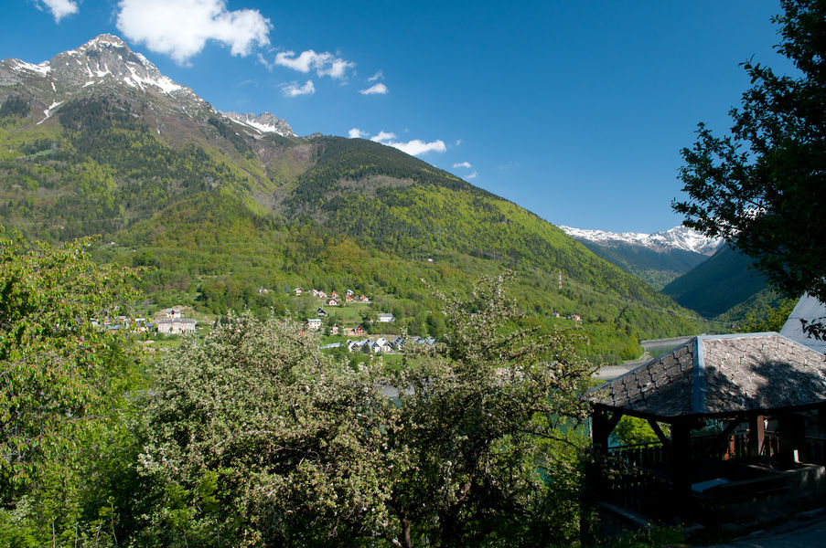
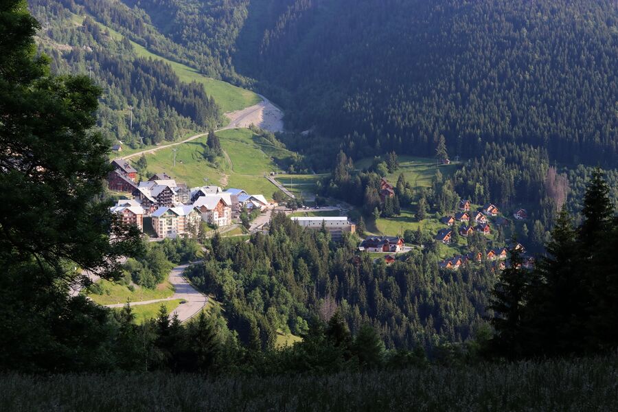
A medium ++ level trail from Oz resort, offers you to discover unique views of the resort and Oz's hamlets
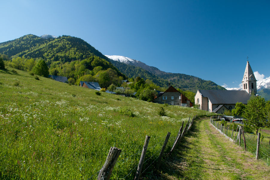
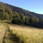
Start the walk from the tree climbing park of Oz. Go up to Plan du Cerf then go back down on the other side of the mountain, direction "L'Enversin d'Oz". From the hamlet, follow the "Combe du Foley" to Oz Village. Enjoy a moment of tranquility in the little chapel at the end of the field. Cross the village and retrieve the path to the hamlet of Roberand, through the forest. Follow the signs to Oz Station.
TECHNICAL INFORMATIONS :
Departure: Tourist Office
Distance: 8.6km
Elevation: about 750m
Duration: 4h00
Maximum altitude: 1480m
INTERESTS: Rivers, flora, hamlets and villages
Route details
Pets welcome
Car park
Opening
From 01/06 to 30/09 daily.
More details
Not accessible in a wheelchair
Informations to download
Discover more
-
Roubier Waterfall
Place: Oz-en-Oisans
Elevation 180m

-
Lower lakes
Place: Oz-en-Oisans
Elevation 205m

-
Pré Reynaud
Place: Oz-en-Oisans
Elevation 10m

-
Le Faubourg
Place: Oz-en-Oisans
Elevation 320m

-
Upper lakes
Place: Oz-en-Oisans
Elevation 100m

-
The ferruginous source
Place: Oz-en-Oisans
Elevation 340m

-
Le Pré de la Pierre
Place: Oz-en-Oisans
Elevation 290m

-
La Fare Mountain Hut from Oz resort
Place: Oz-en-Oisans
Elevation 950m
-
Oz-Allemond via the ascent to Oz
Place: Oz-en-Oisans
Elevation 40m

-
From Oz Station to Sardonne
Place: Oz-en-Oisans
Elevation -750m
-
Cascade du Roubier
Place: Oz-en-Oisans
Elevation 190m

Go there
Latitude : 45.128
Longitude : 6.0708
Height : 1350
38114 Oz-en-Oisans
Go there
Access to Oz resort by various gondolas.
Eau d'Olle Express cable car from the village of Allemond
Information updated on 29/09/2025
by Office de Tourisme d'Oz 3300