Oz-Allemond via the ascent to Oz

An easy walk through the woods, all the way down to the village of Allemond, passing through the authentic hamlet of Roberand. You can take the Eau d'Olle Express back up during the day to complete a loop.
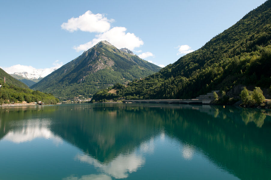
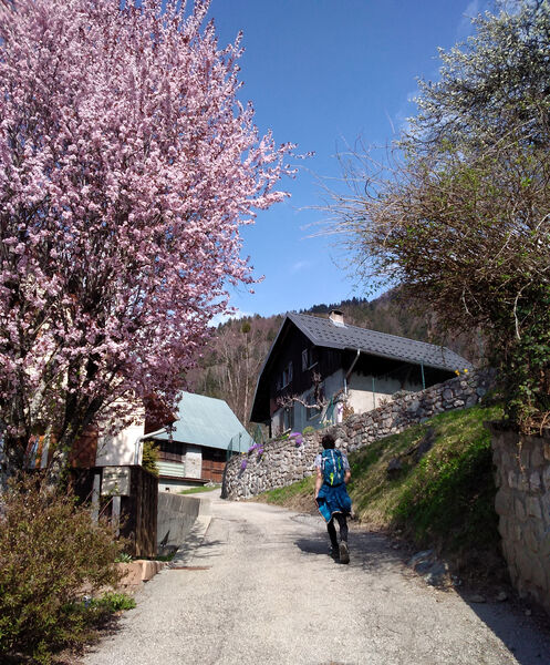
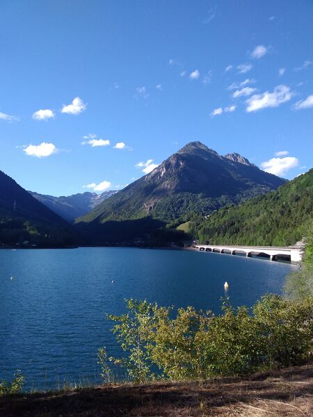
From the resort, walk down to the Clos du Pré chalets, then follow the signs for montée d'Oz, then Roberand. Once you've passed through the hamlet, take the path on the left that runs alongside the cemetery, then follow it and climb down the wooden staircase that leads to the waterfall near Lac du Verney. Cross the dam, at the roundabout take the path opposite you and then descend into the village of Allemond to find the start of the Eau d'Olle Express.
TECHNICAL INFORMATION :
Departure point: Tourist Office
Distance: 4.2km
Difference in altitude: approximately 40m positive, 610m negative
Duration: 1 hour 45 minutes
Maximum altitude: 1350
/Please check the opening times of the L'Eau d'Olle Express before setting off on this route.
Route details
Pets welcome
Car park
Opening
From 01/06 to 30/09.
More details
Not accessible in a wheelchair
Informations to download
Discover more
-
Circuit des Sangliers
Place: Oz-en-Oisans
Elevation 750m

-
Roubier Waterfall
Place: Oz-en-Oisans
Elevation 180m

-
The ferruginous source
Place: Oz-en-Oisans
Elevation 340m

-
Le Faubourg
Place: Oz-en-Oisans
Elevation 320m

-
Le Pré de la Pierre
Place: Oz-en-Oisans
Elevation 290m

-
Lower lakes
Place: Oz-en-Oisans
Elevation 205m

-
Upper lakes
Place: Oz-en-Oisans
Elevation 100m

-
Pré Reynaud
Place: Oz-en-Oisans
Elevation 10m

-
La Fare Mountain Hut from Oz resort
Place: Oz-en-Oisans
Elevation 950m
-
From Oz Station to Sardonne
Place: Oz-en-Oisans
Elevation -750m
-
Montée de l'Alpette
Place: Oz-en-Oisans
Elevation 700m
-
Cascade du Roubier
Place: Oz-en-Oisans
Elevation 190m

Go there
Latitude : 45.128041
Longitude : 6.070903
Height : 1350
38114 Oz-en-Oisans
Go there
Information updated on 15/05/2024
by Office de Tourisme d'Oz 3300